Map of Lakewood, Ohio
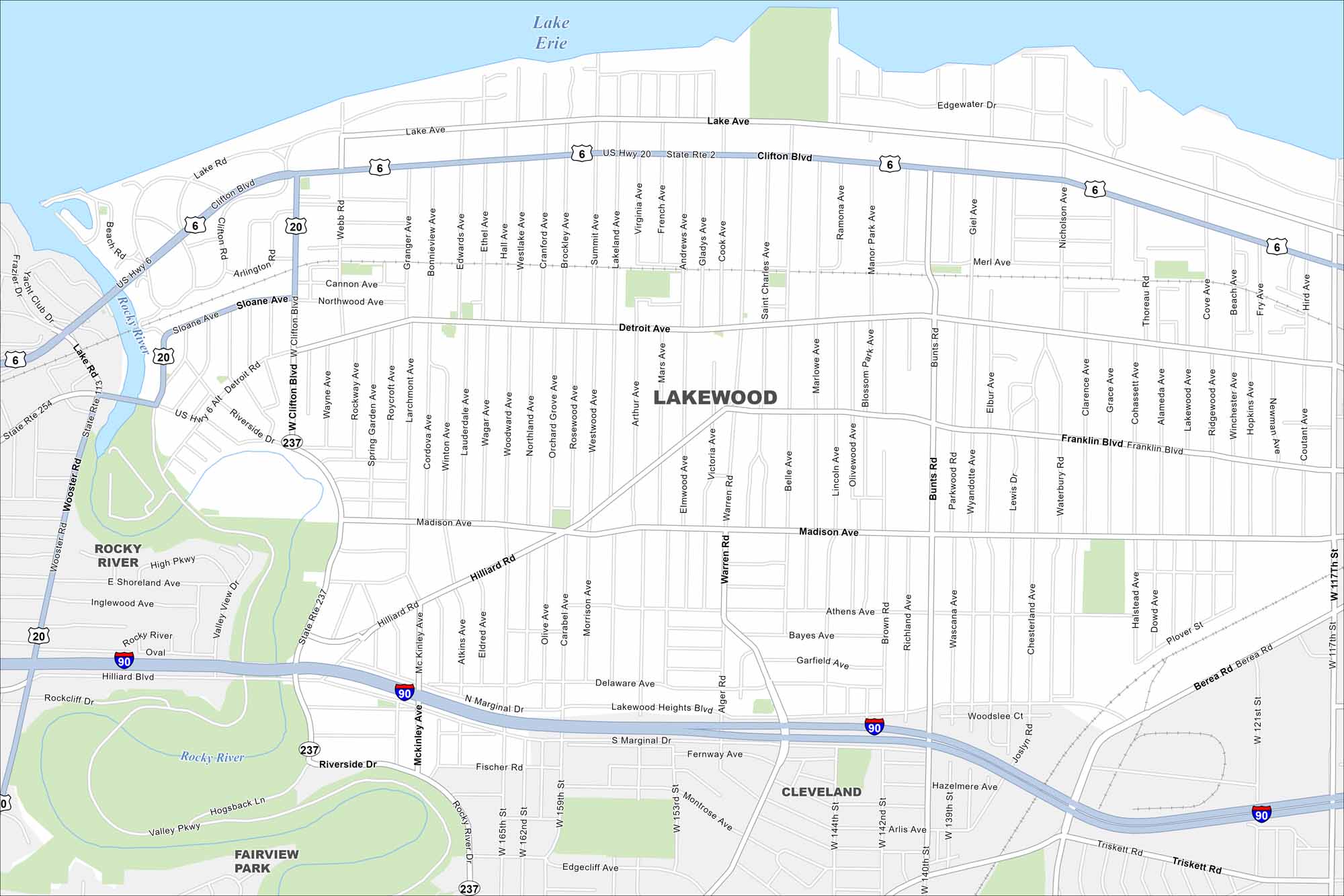
Tucked along Lake Erie, Lakewood stretches in a narrow band. The map shows streets running right to the shoreline. Downtown Cleveland lies just next door.
Map Information
On the Map
Interstates/Highways: I-90, US Hwy 20, US Hwy 6, State Rte 2, State Rte 117 Major Roads: Detroit Ave, Madison Ave, Clifton Blvd, Hilliard Rd, Franklin Blvd, Lake Ave, Bunts Rd, Warren Rd, West 117th St, Riverside Dr, Berea Rd, Alger Rd, Marlowe Ave, Cook Ave, Belle Ave, Gladys Ave, Arthur Ave, Andrews Ave, Atkins Ave, Athens Ave Lakes and Reservoirs: Lake Erie Major Rivers: Rocky River Nearby Communities: Cleveland, Rocky River, Fairview ParkOhio State Maps
Check out our maps covering farmland or any of Ohio’s major cities.


City Maps of Ohio
Here are maps of Columbus and Ohio’s major cities


