Map of Lancaster, Ohio
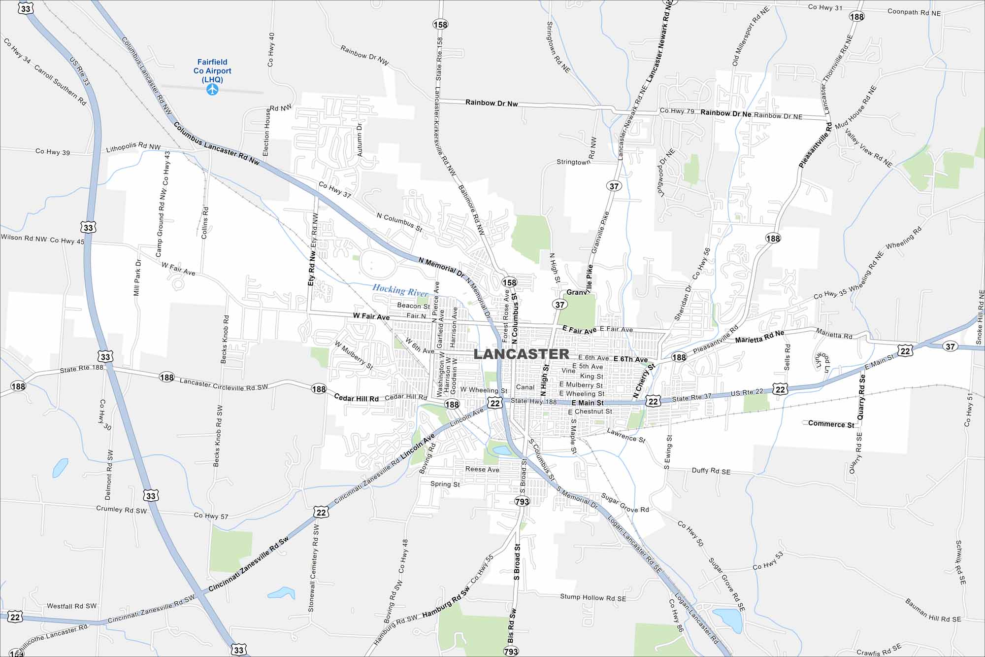
Lancaster rests in the Hocking River Valley. This map shows hills surrounding the city on three sides. Downtown anchors the center with a tight street grid.
Map Information
On the Map
Interstates/Highways: US Hwy 33, US Hwy 22, State Rte 37, State Rte 188, State Rte 793, State Rte 158 Major Roads: Main St, Memorial Dr, Broad St, Columbus St, Fair Ave, Wheeling St, Mulberry St, Chestnut St, Pierce Ave, Cherry St, High St, Ewing St, Pleasant St, Sixth Ave, Sheridan Dr, Lawrence St, Cedar Hill Rd, Coonpath Rd, Ety Rd, Tarkiln Rd Major Rivers: Hocking RiverOhio State Maps
Check out our maps covering farmland or any of Ohio’s major cities.


City Maps of Ohio
Here are maps of Columbus and Ohio’s major cities


