Map of Mentor, Ohio
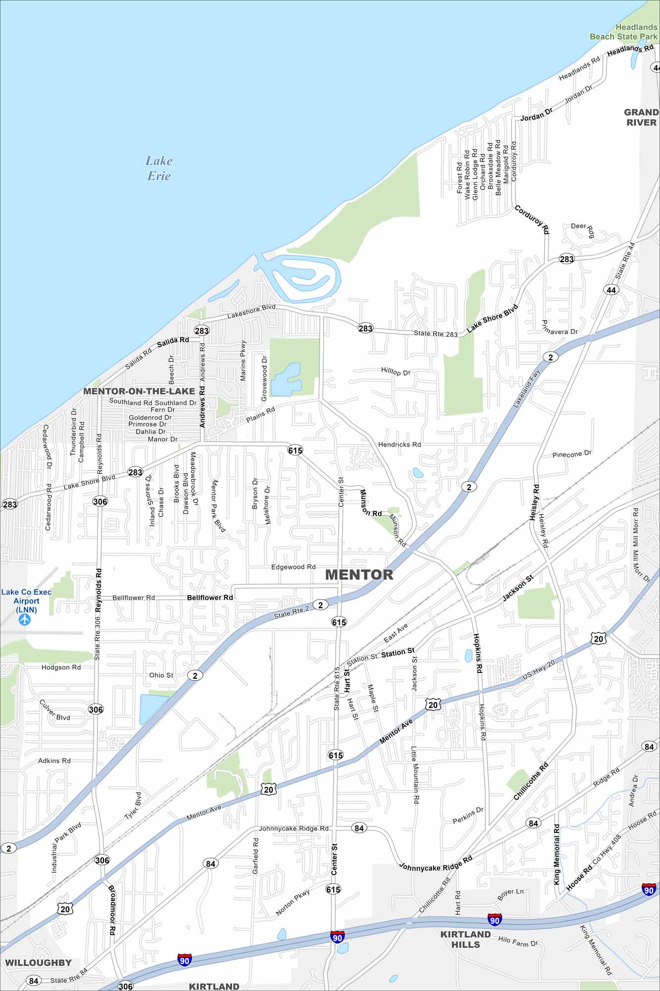
Discover Mentor along Lake Erie. Our map shows the shoreline, parks, highways, roads and neighborhoods. It’s homes to Headlands Beach State Park, the longest public swimming beach in Ohio.
Map Information
On the Map
Interstates/Highways: I-90, US Hwy 20, State Rte 2, State Rte 306, State Rte 615, State Rte 283, State Rte 44, State Rte 84 Major Roads: Mentor Ave, Lake Shore Blvd, Center St, Tyler Blvd, Reynolds Rd, Heisley Rd, Johnnycake Ridge Rd, Munson Rd, Adkins Rd, Bellflower Rd, Broadmoor Rd, Chillicothe Rd, Jackson St, Station St, Hart St, Hopkins Rd Airports: Lake Co Exec Airport (LNN) Lakes and Reservoirs: Lake Erie Parks and Preserves: Headlands Beach State Park Nearby Communities: Mentor-on-the-Lake, Grand River, Kirtland Hills, Kirtland, WilloughbyOhio State Maps
Check out our maps covering farmland or any of Ohio’s major cities.


City Maps of Ohio
Here are maps of Columbus and Ohio’s major cities


