Map of Middletown, Ohio
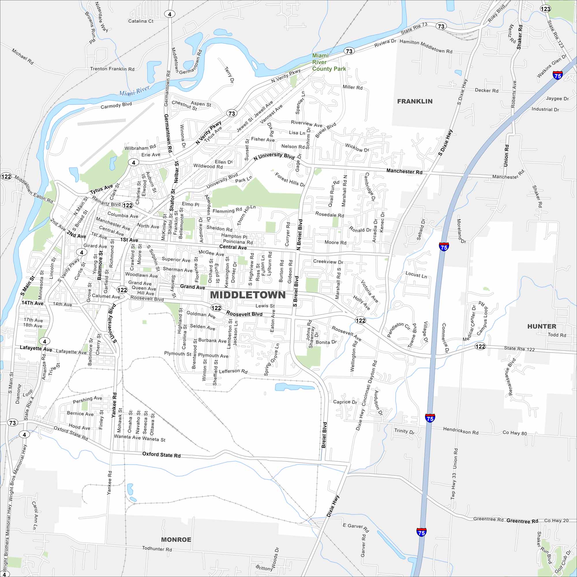
Middletown lies between Cincinnati and Dayton. Our map shows the Great Miami River flowing through town. Neighborhoods, industry, and highways all play a major role here.
Map Information
On the Map
Interstates/Highways: I-75, State Rte 122, State Rte 73, State Rte 4 Major Roads: Main St, University Blvd, Verity Pkwy, Roosevelt Blvd, Breiel Blvd, Yankee Rd, Oxford State Rd, Manchester Rd, Grand Ave, Central Ave, Tytus Ave, Germantown Rd, Dixie Hwy, Union Rd, Hendrickson Rd, Renaissance Blvd Major Rivers: Miami River Parks and Preserves: Miami River County Park Nearby Communities: Franklin, Hunter, MonroeOhio State Maps
Check out our maps covering farmland or any of Ohio’s major cities.


City Maps of Ohio
Here are maps of Columbus and Ohio’s major cities


