Map of Nashville, Tennessee
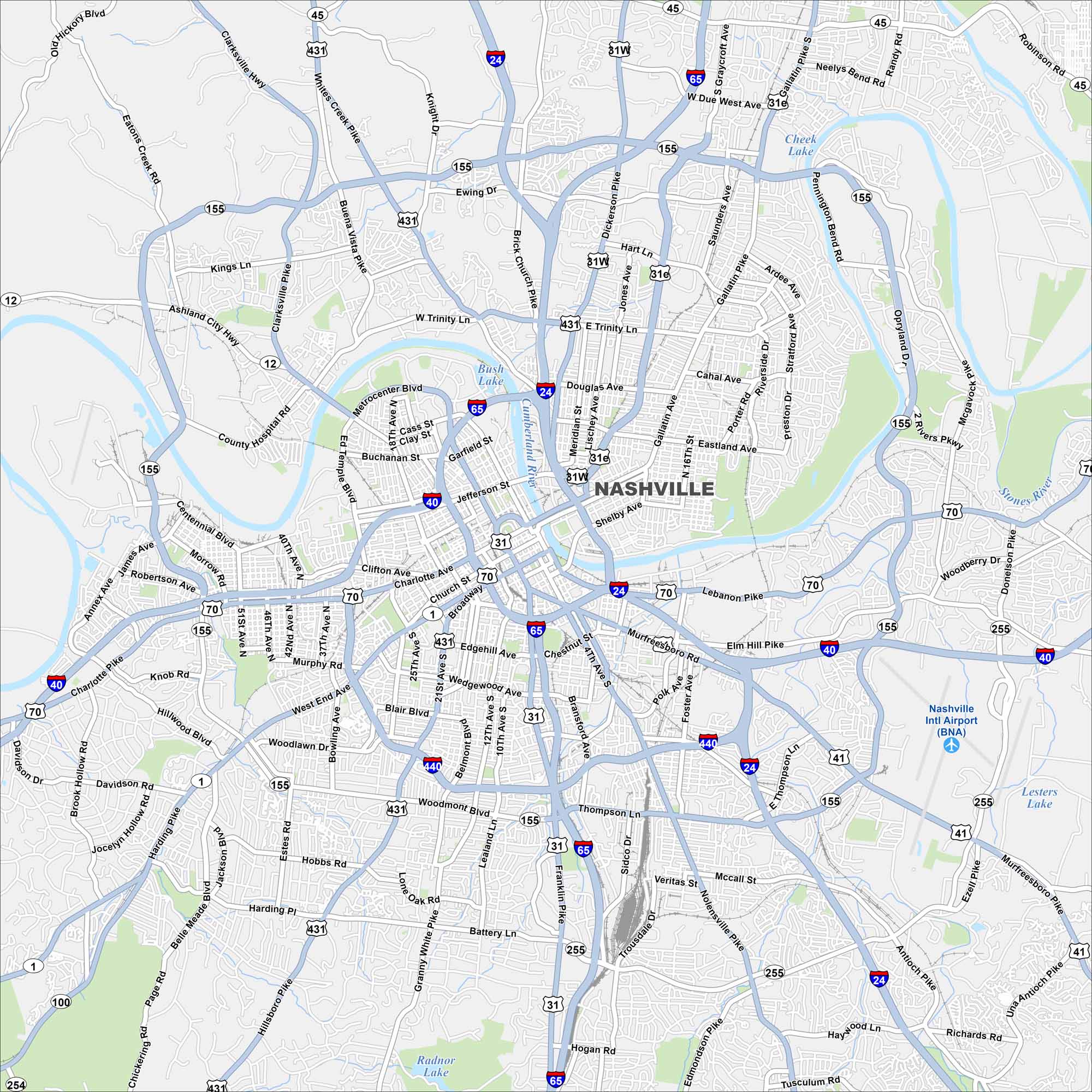
Discover Nashville with our map of Tennessee’s capital. The downtown core sits along the Cumberland River, with neighborhoods spreading into rolling hills. Music Row and the state capitol anchor its identity.
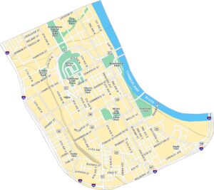
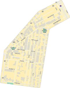
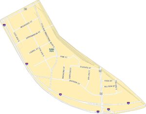
Nashville Neighborhood Maps
See our neighborhood maps for a closer look of the city.
Map Information
On the Map
Interstates/Highways: I-24, I-40, I-65, I-440, US Hwy 31, US Hwy 31E, US Hwy 31W, US Hwy 41, US Hwy 41A, US Hwy 70, US Hwy 70S, US Hwy 431, State Rte 1, State Rte 6, State Rte 11, State Rte 12, State Rte 45, State Rte 100, State Rte 155, State Rte 254, State Rte 255 Major Roads: Broadway, West End Ave, Hillsboro Pike, 21st Ave, 8th Ave, Murfreesboro Pike, Lebanon Pike, Gallatin Pike, Dickerson Pike, Whites Creek Pike, Charlotte Avenue, Trinity Ln, Briley Pkwy, Thompson Ln, Woodmont Blvd, Harding Pl, Harding Pike, Nolensville Pike, Old Hickory Blvd, Metrocenter Blvd Airports: Nashville Intl Airport (BNA) Lakes and Reservoirs: Bush Lake, Radnor Lake, Lesters Lake, Cheek Lake Major Rivers: Cumberland River, Stones RiverTennessee State Maps
Here are our state maps of Tennessee.


City Maps of Tennessee
Explore our Tennessee map collection


