Downtown Nashville Map
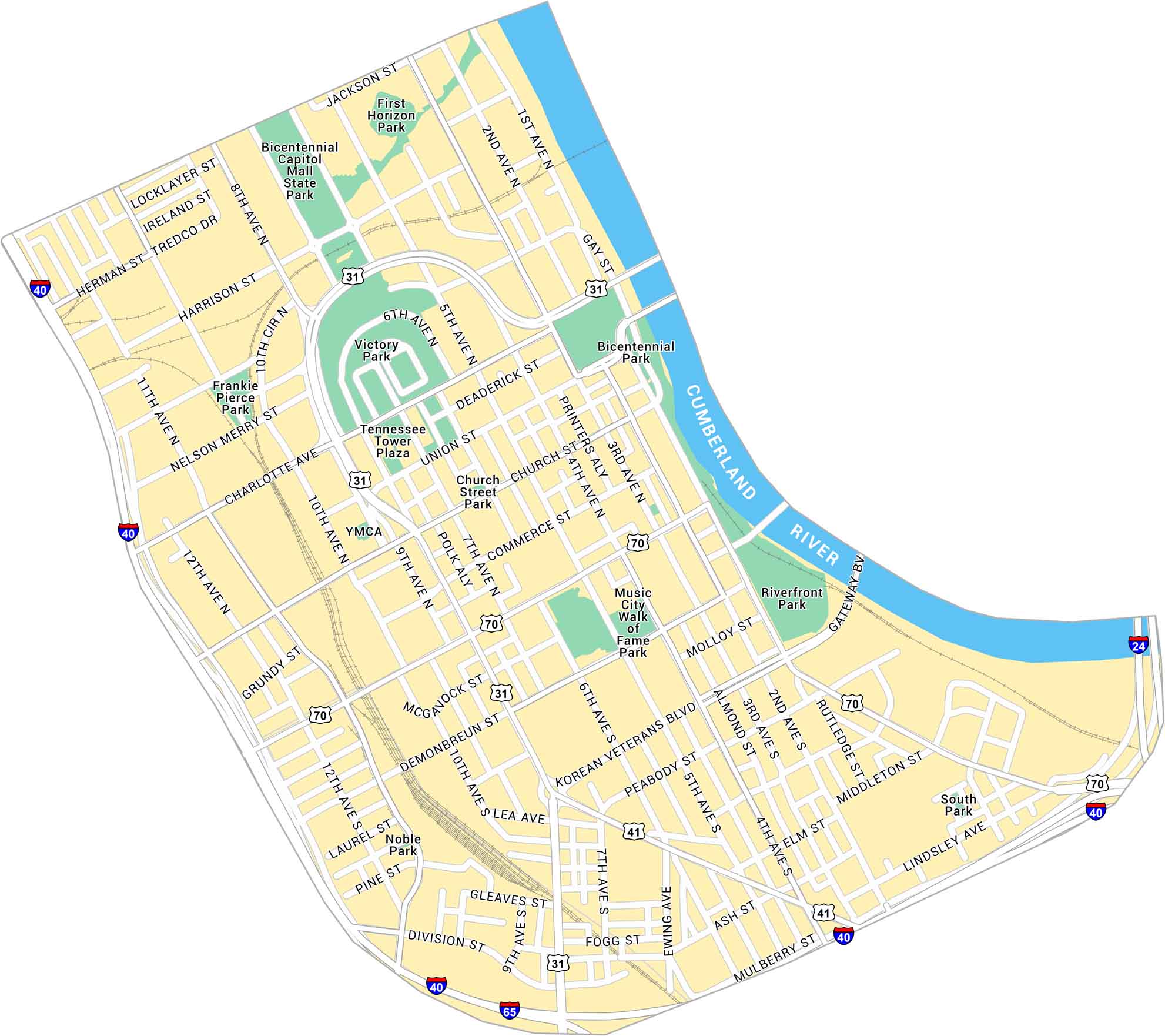
Downtown Nashville runs along the Cumberland River, packed with music venues, bridges, and bright streets. Our map shows Broadway (US Route 70), nearby parks, and the roads tying into the riverfront.
Map Information
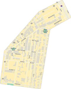
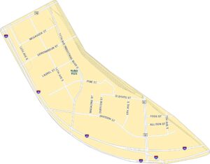
Nashville Neighborhood Maps
See our neighborhood maps for a closer look of the city.
On the Map
Interstates/Highways: I-40, I-65, I-24, US Hwy 31, US Hwy 70, US Hwy 41 Major Roads: Korean Veterans Blvd, Broadway, Charlotte Ave, James Robertson Pkwy, Demonbreun St, Church St, Union St, Deaderick St, Commerce St, Gay St, 1st Ave, 2nd Ave, 3rd Ave, 4th Ave, 5th Ave, 6th Ave, 7th Ave, 8th Ave, 9th Ave, 10th Ave Major Rivers: Cumberland River Parks: Bicentennial Capitol Mall State Park, First Horizon Park, Bicentennial Park, Riverfront Park, Victory Park, Music City Walk of Fame Park, Frankie Pierce Park, Church Street Park, Noble Park, South Park Landmarks: Tennessee Tower PlazaCity Maps of Tennessee
Explore our Tennessee map collection


