Map of Youngstown, Ohio
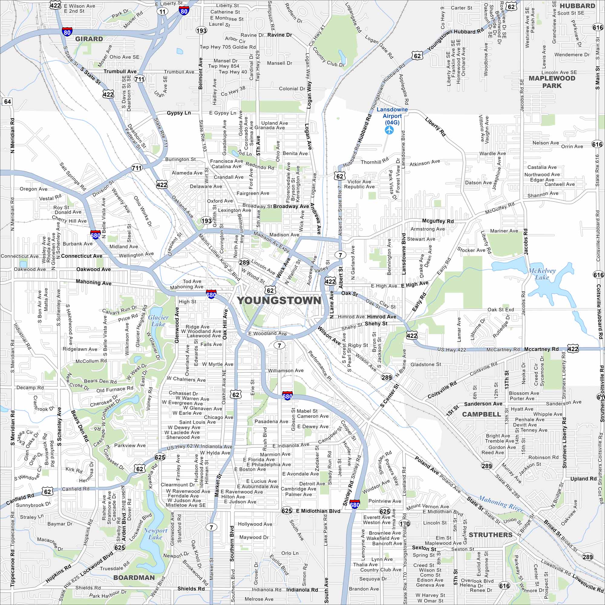
Our map of Youngstown shows the downtown area and Mahoning River setting. Once a steel hub, the city is now reinventing itself.
Map Information
On the Map
Interstates/Highways: I-80, I-680, US Hwy 422, US Hwy 62, State Rte 193, State Rte 711, State Rte 7, State Rte 289, State Rte 625, State Rte 170, State Rte 616 Major Roads: Mahoning Ave, Market St, Midlothian Blvd, Belmont Ave, Wick Ave, Glenwood Ave, Meridian Rd, Gypsy Ln, Broadway Ave, McGuffey Rd, Himrod Ave, Woodland Ave, Poland Ave, McCartney Rd, Fifth Ave, Indianola Rd, Canfield Rd, South Ave, Lockwood Blvd, Western Reserve Rd Airports: Lansdowne Airport Lakes and Reservoirs: Glacier Lake, Newport Lake, McKelvey Lake Major Rivers: Mahoning River Nearby Communities: Girard, Hubbard, Campbell, Struthers, BoardmanOhio State Maps
Check out our maps covering farmland or any of Ohio’s major cities.


City Maps of Ohio
Here are maps of Columbus and Ohio’s major cities


