Map of Ravenna, Ohio
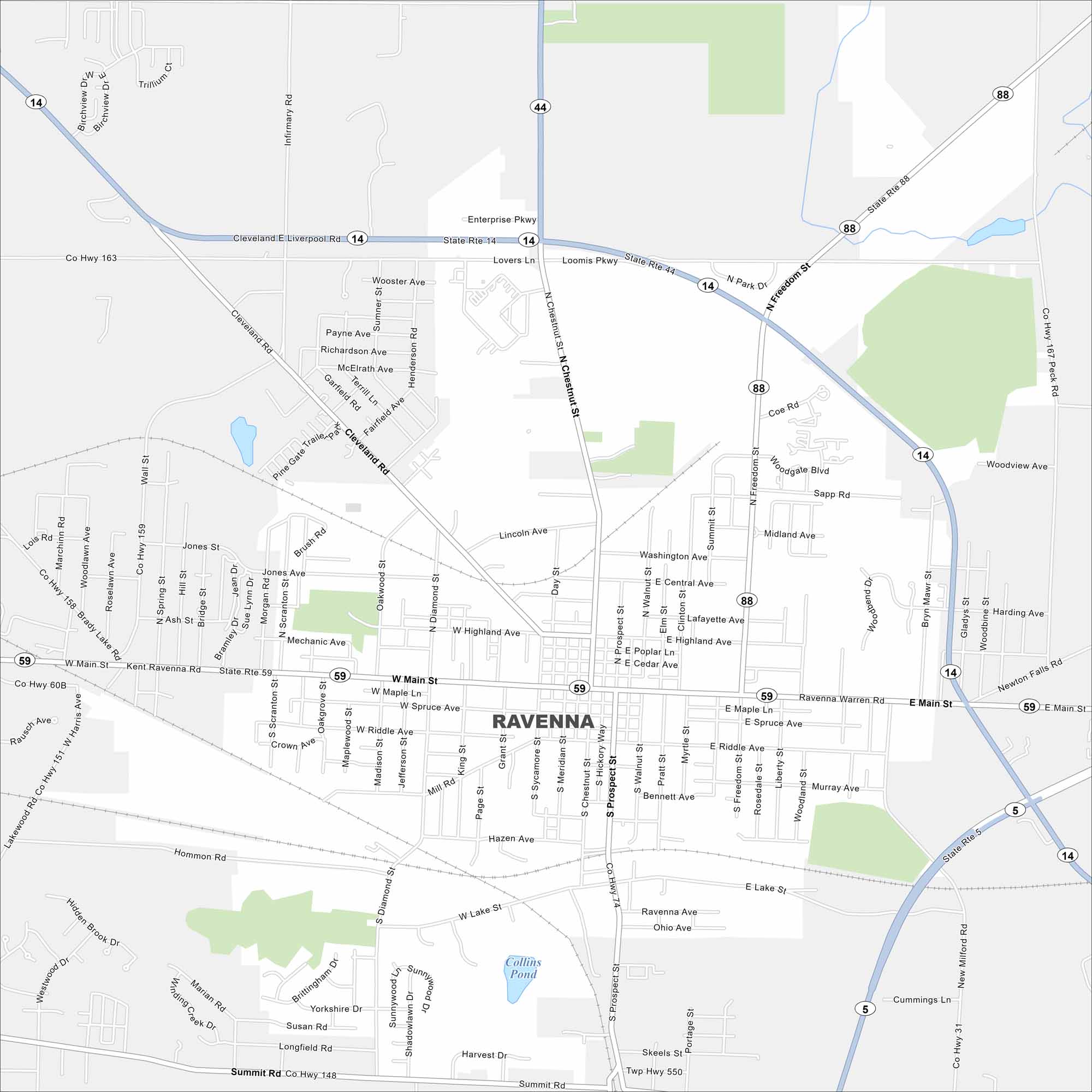
Our map of Ravenna shows the small-town grid and routes through Portage County. It’s a city with deep roots in manufacturing and agriculture. Ravenna also serves as the county seat.
Map Information
On the Map
Interstates/Highways: State Rte 14, State Rte 44, State Rte 88, State Rte 59, State Rte 5 Major Roads: Main St, Chestnut St, Prospect St, Freedom St, Lake St, Cleveland Rd, Diamond St, Meridian St, Walnut St, Peck Rd, Newton Falls Rd, Loomis Pkwy, Summit St, Highland Ave, Spruce Ave, Maple Ln, Riddle Ave, Clinton St, Poplar Ln, Cedar Ave Lakes and Reservoirs: Collins PondOhio State Maps
Check out our maps covering farmland or any of Ohio’s major cities.


City Maps of Ohio
Here are maps of Columbus and Ohio’s major cities


