Boundary Waters Map
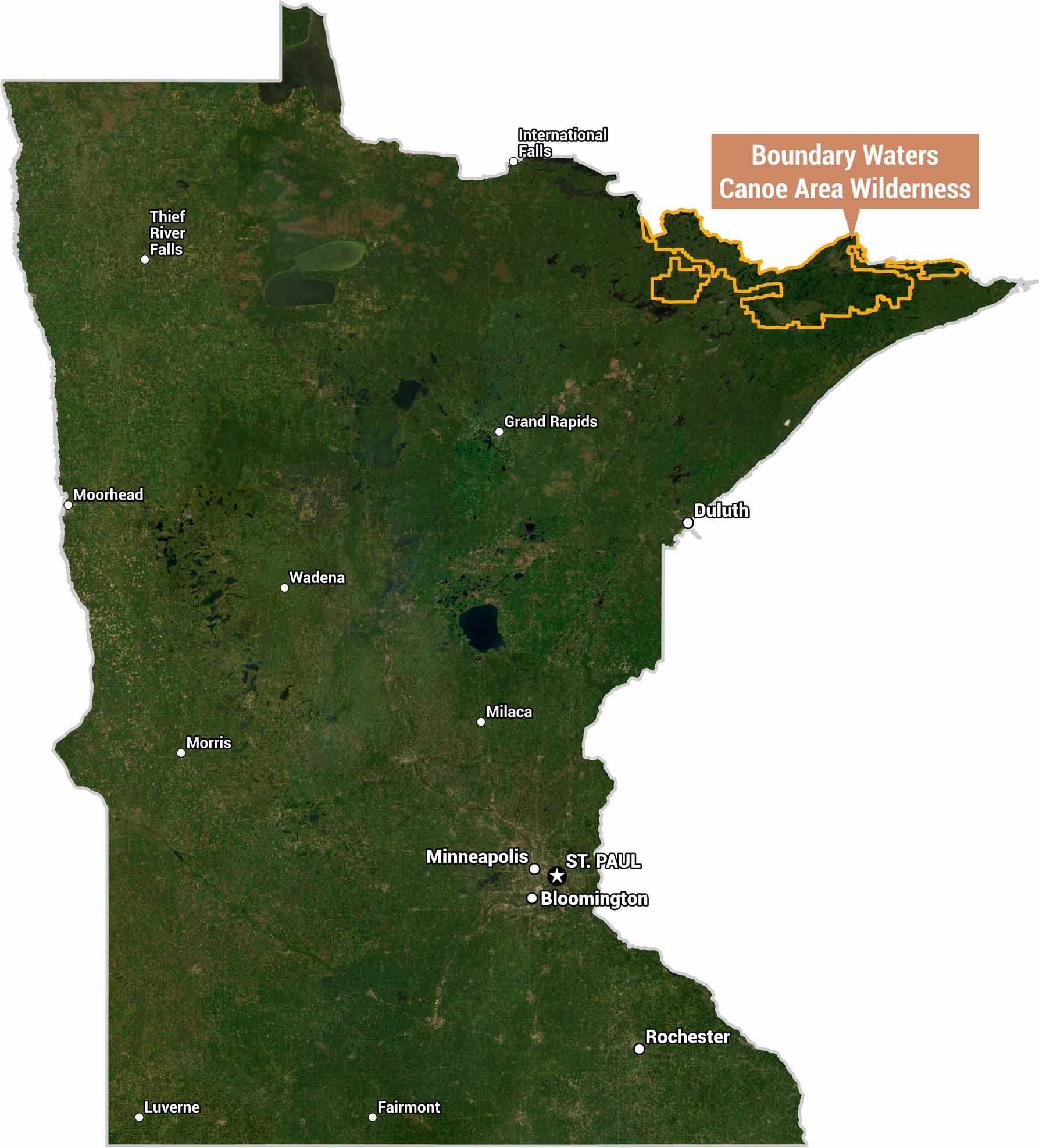
Here’s our satellite map of Minnesota highlighting the Boundary Waters Canoe Area Wilderness (BWCAW). It’s outlined in orange along the northeastern corner of the state, bordering Canada. This area is known for its dense forests and lakes.
Map Information
On the Map
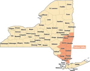
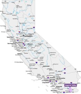
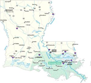
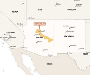
Main Feature: Boundary Waters Canoe Area Wilderness (northeastern Minnesota, along the Canadian border) Cities: St. Paul (capital), Minneapolis, Bloomington, Duluth, Rochester, Grand Rapids, International Falls, Thief River Falls, Moorhead, Wadena, Morris, Milaca, Fairmont, LuverneReferences
Natural Region Maps
Geographic landforms, wilderness zones, deserts, mountain ranges, and terrain.