Hell’s Canyon Map
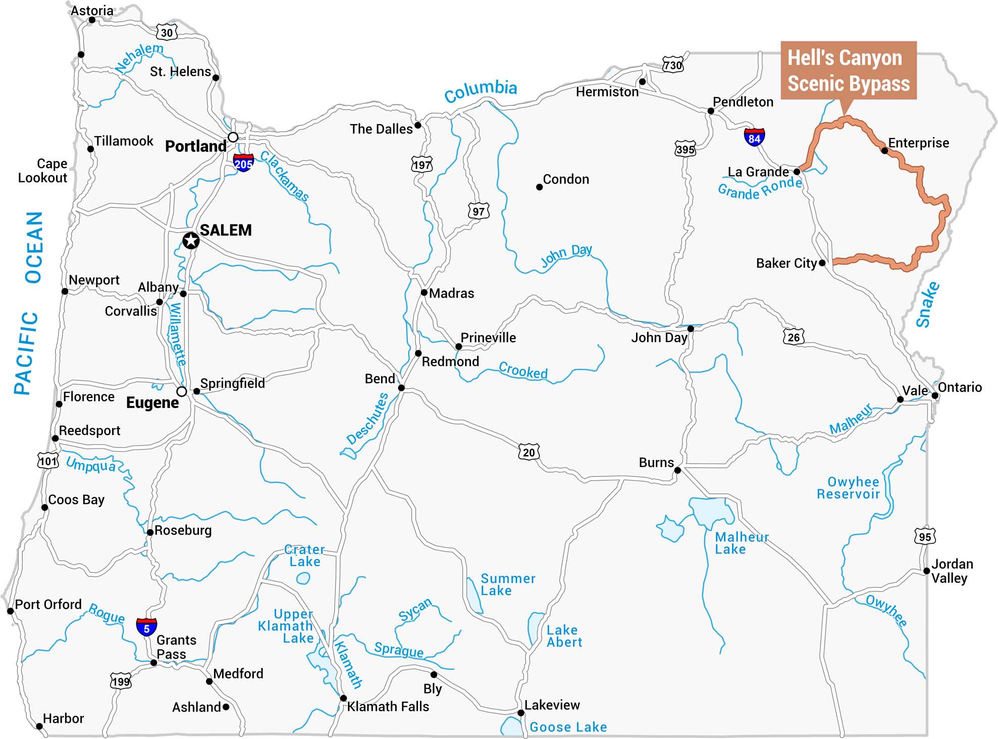
Our map of Oregon highlights the Hell’s Canyon Scenic Bypass in orange along the state’s northeastern border. This bypass winds between Enterprise and Baker City along the Snake River.
Map Information
On the Map
Nearest Cities: Enterprise, Baker City, La Grande, Pendleton Highways: I-84, I-5, I-205, US-20, US-26, US-30, US-95, US-97, US-101, US-197, US-395, US-730, OR-199 Other Cities: Portland, Salem, Eugene, Springfield, Albany, Corvallis, Newport, Astoria, Tillamook, St. Helens, Florence, Reedsport, Coos Bay, Roseburg, Grants Pass, Medford, Ashland, Klamath Falls, The Dalles, Bend, Redmond, Prineville, Madras, Hermiston, Condon, John Day, Burns, Lakeview, Bly, Vale, Ontario, Jordan Valley Major Rivers: Columbia, Willamette, Clackamas, Nehalem, Umpqua, Rogue, Deschutes, Crooked, John Day, Grande Ronde, Snake, Malheur, Owyhee, Klamath, Sprague, Sycan Lakes/Reservoirs: Crater Lake, Upper Klamath Lake, Summer Lake, Lake Abert, Malheur Lake, Owyhee Reservoir, Goose LakeReferences
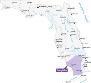
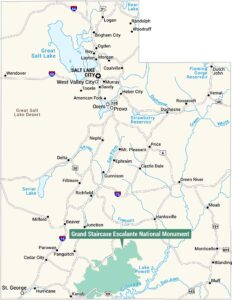
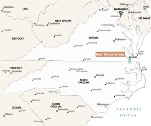
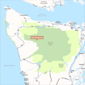
Natural Region Maps
Geographic landforms, wilderness zones, deserts, mountain ranges, and terrain.