Hudson Valley Map
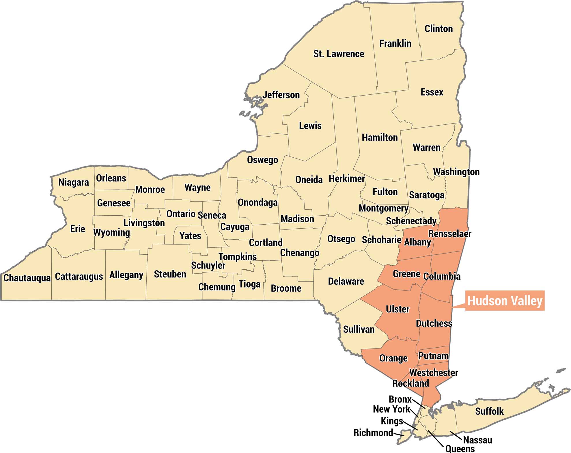
Get to know the Hudson Valley with our New York State map. It displays this region in salmon across the southeastern portion of the state.
Map Information
On the Map
Hudson Valley Counties: Albany, Rensselaer, Greene, Columbia, Ulster, Dutchess, Sullivan, Orange, Putnam, Rockland, Westchester Other Counties: St. Lawrence, Franklin, Clinton, Jefferson, Lewis, Hamilton, Essex, Oswego, Oneida, Herkimer, Fulton, Warren, Washington, Monroe, Wayne, Onondaga, Madison, Otsego, Schoharie, Montgomery, Schenectady, Saratoga, Niagara, Orleans, Genesee, Livingston, Ontario, Seneca, Yates, Cayuga, Cortland, Chenango, Delaware, Erie, Wyoming, Allegany, Steuben, Schuyler, Tompkins, Tioga, Broome, Cattaraugus, Chautauqua, Bronx, New York, Kings, Richmond, Queens, Nassau, SuffolkReferences
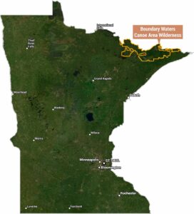
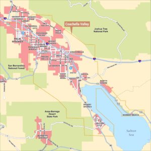
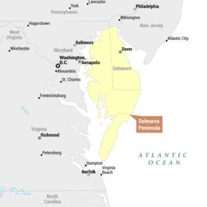
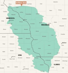
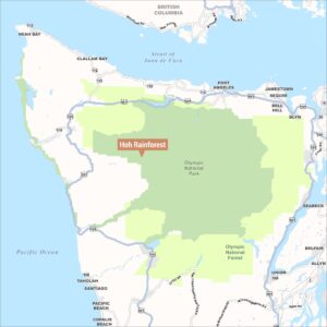
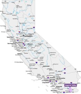
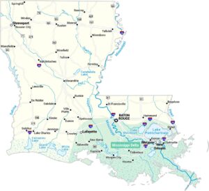
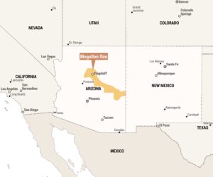
Natural Region Maps
Geographic landforms, wilderness zones, deserts, mountain ranges, and terrain.