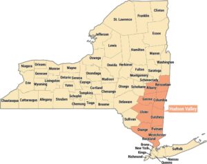
Imperial Valley Map
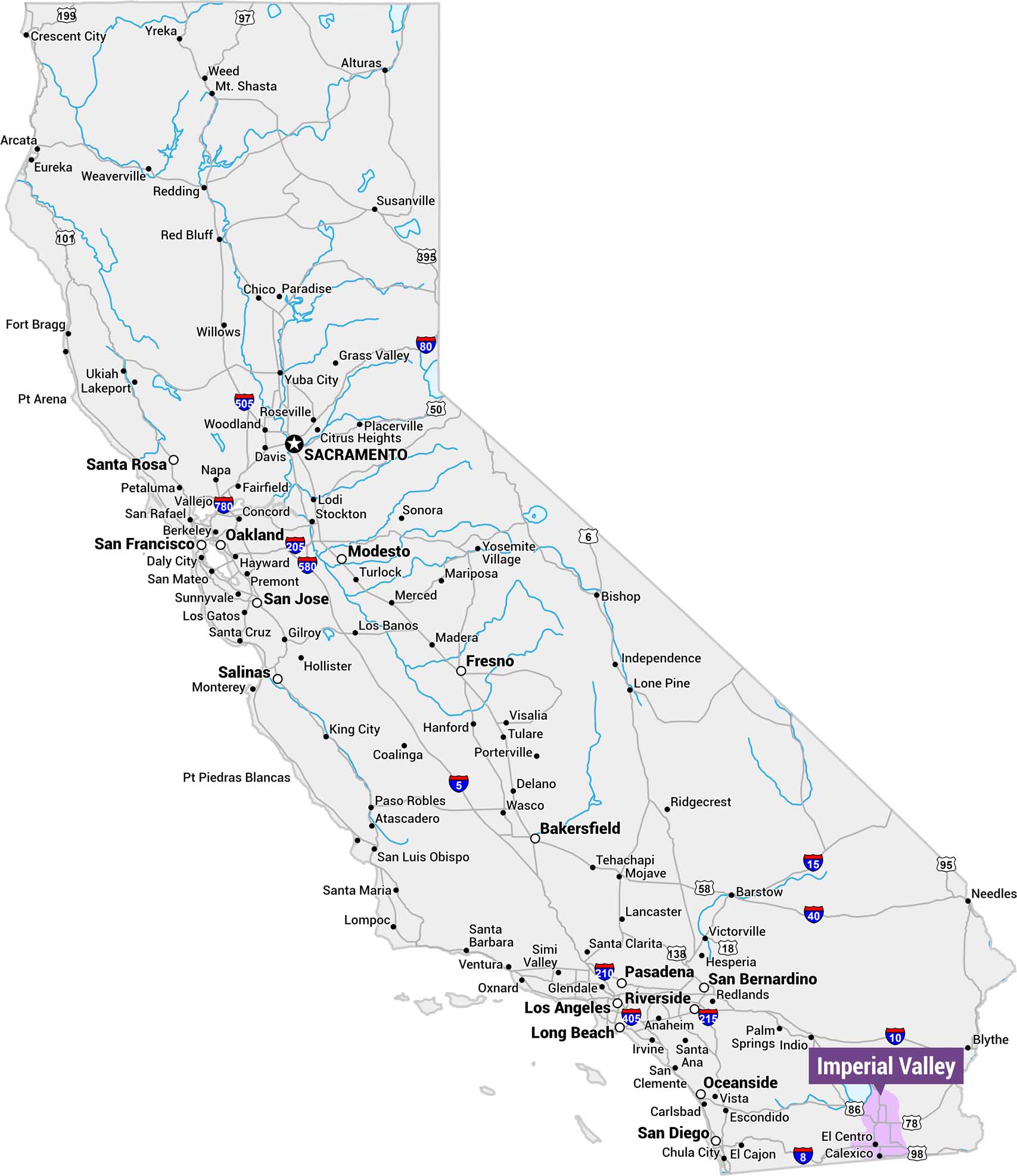
Explore the Imperial Valley with our reference map of California. We’ve highlighted this region in light purple, situated in the far southeastern corner of the state along the Mexican border. Note the Valley’s position east of San Diego and near Arizona’s border.
Map Information
On the Map
Cities Within or Adjacent to the Imperial Valley: El Centro, Calexico, Blythe, Indio, Palm Springs Highways within the Imperial Valley: I-8, I-10, US-86, US-95, CA-78, CA-98, CA-111References
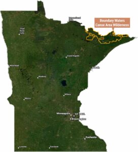
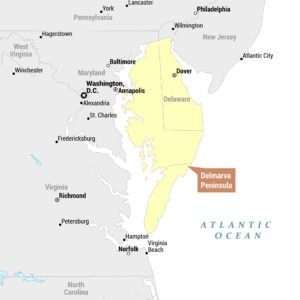
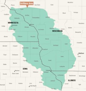
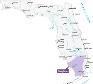
Natural Region Maps
Geographic landforms, wilderness zones, deserts, mountain ranges, and terrain.