Map of Shaker Heights, Ohio
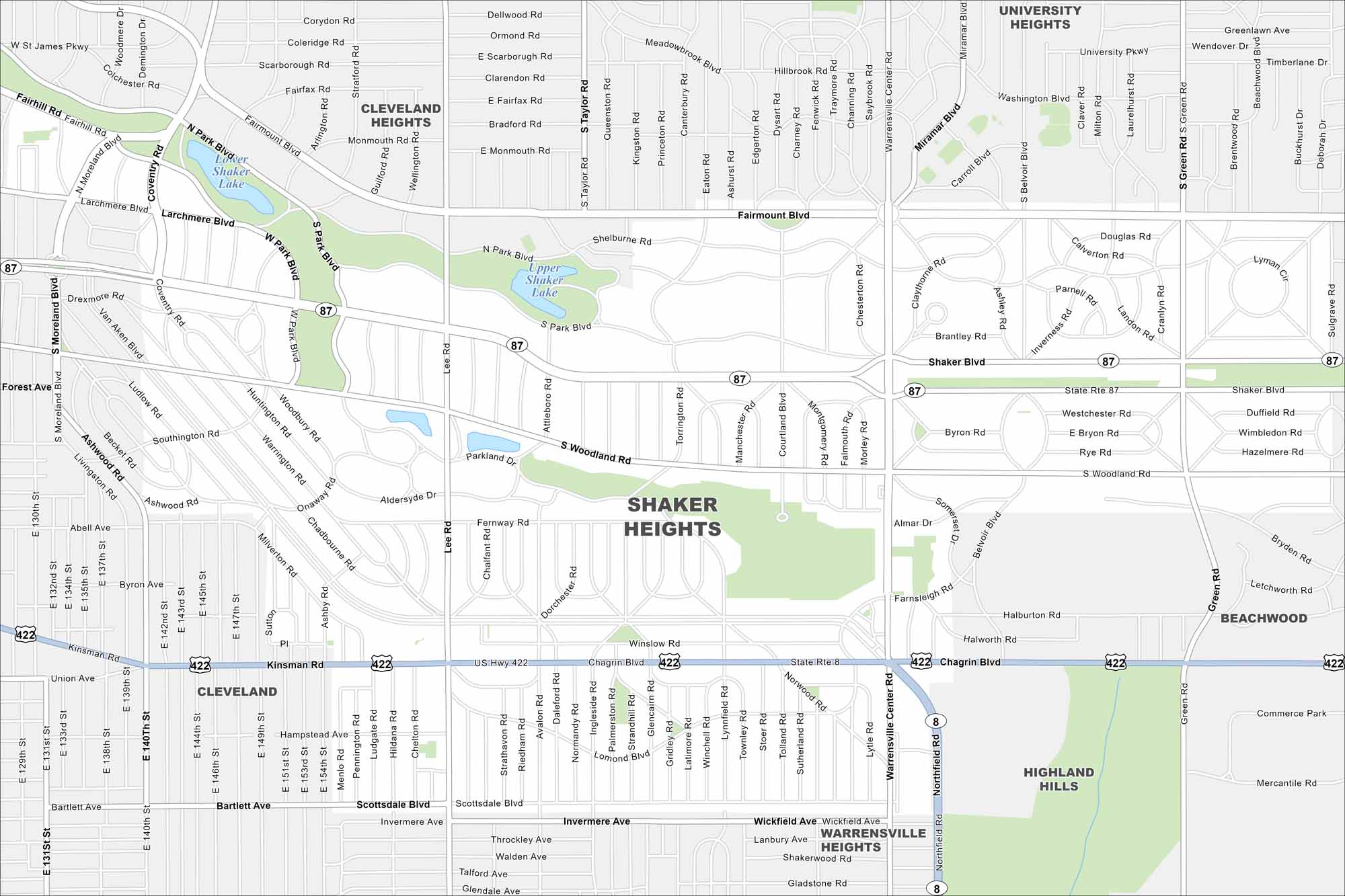
Start with this map of Shaker Heights. This Cleveland suburb has tree-lined streets and historic homes. It’s easy to see why it has a reputation for character.
Map Information
On the Map
Interstates/Highways: US Hwy 422, State Rte 87 Major Roads: Shaker Blvd, Chagrin Blvd, Fairmount Blvd, Northfield Rd, Warrensville Center Rd, Lee Rd, Woodland Rd, Van Aken Blvd, Kinsman Rd, Green Rd, Belvoir Blvd, South Park Blvd, North Park Blvd, Coventry Rd, Moreland Blvd, Shelburne Rd, Farnsleigh Rd, Lomond Blvd, Winslow Rd, Bartlett Ave Lakes and Reservoirs: Lower Shaker Lake, Upper Shaker Lake Nearby Communities: Cleveland Heights, University Heights, Beachwood, Highland Hills, Warrensville Heights, ClevelandOhio State Maps
Check out our maps covering farmland or any of Ohio’s major cities.


City Maps of Ohio
Here are maps of Columbus and Ohio’s major cities


