Map of Springfield, Ohio
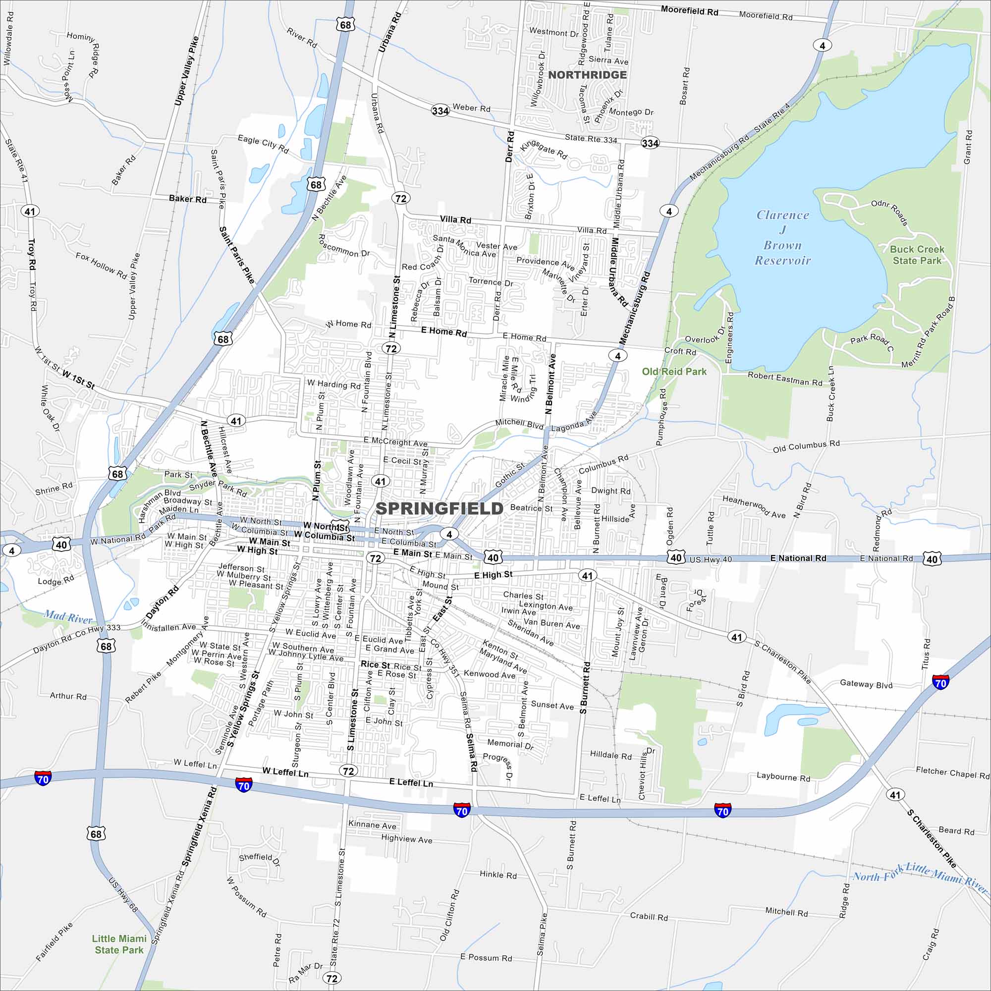
Our map of Springfield highlights the city between Dayton and Columbus. You’ll find historic neighborhoods, local parks, and a downtown filled with character.
Map Information
On the Map
Interstates/Highways: I-70, US Hwy 40, US Hwy 68, State Rte 41, State Rte 4, State Rte 72, State Rte 334 Major Roads: Main St, North St, Columbia St, High St, Limestone St, Bechtle Ave, Leffel Ln, Plum St, Fountain Ave, Yellow Springs St, Lowry Ave, Center St, Belmont Ave, Burnett Rd, Sunset Ave, Home Rd, McCreight Ave, Villa Rd, Derr Rd, Middle Urbana Rd Lakes and Reservoirs: Clarence J Brown Reservoir Major Rivers: Mad River, Little Miami River Parks and Preserves: Buck Creek State Park, Little Miami State Park Nearby Communities: NorthridgeOhio State Maps
Check out our maps covering farmland or any of Ohio’s major cities.


City Maps of Ohio
Here are maps of Columbus and Ohio’s major cities


