Map of Strongsville, Ohio
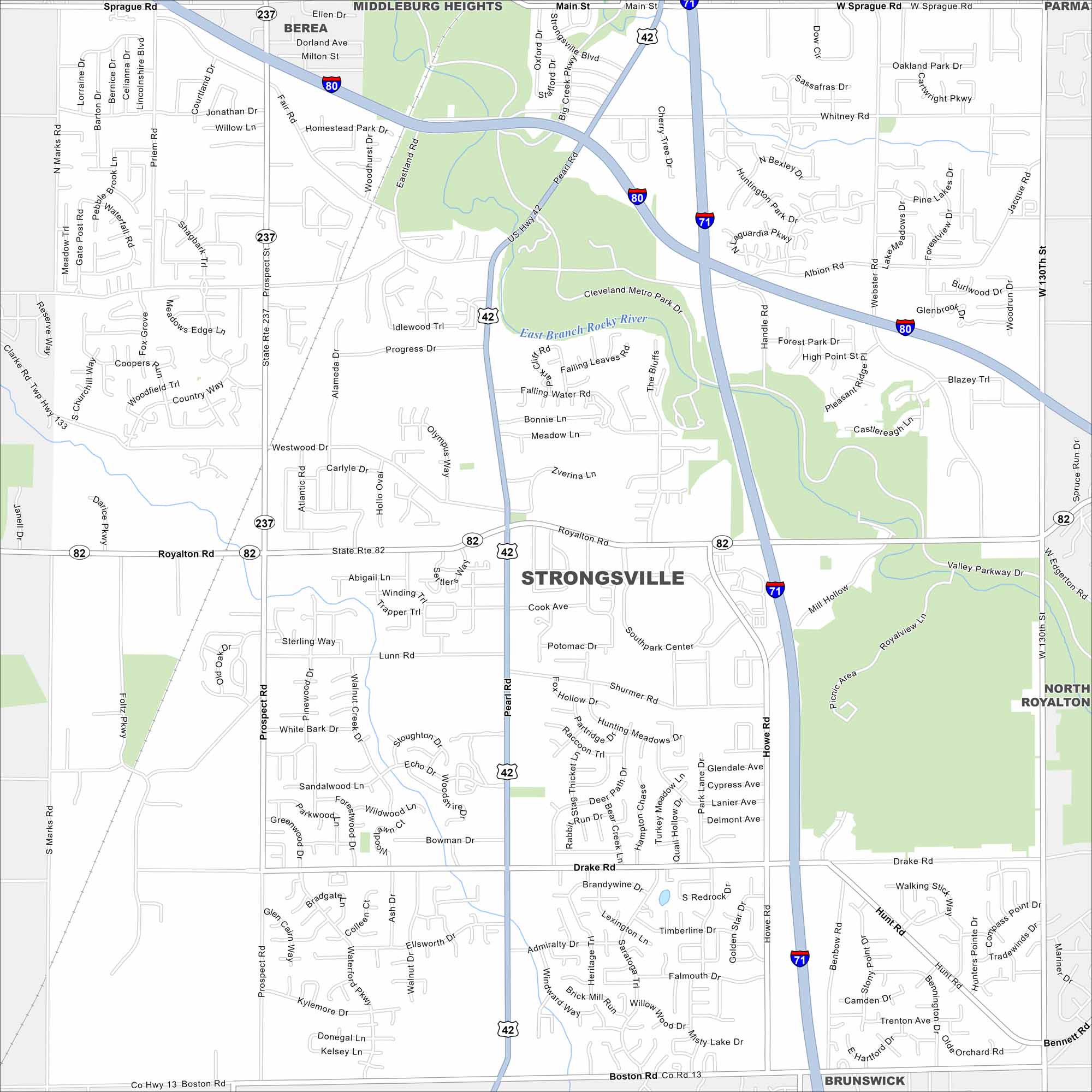
Here’s our map of Strongsville, often called the Crossroads of the Nation. This is because it’s where Interstate 71 and the Ohio Turnpike (I-80) meet.
Map Information
On the Map
Interstates/Highways: I-80, I-71, US Hwy 42, State Rte 82, State Rte 237 Major Roads: Royalton Rd, Pearl Rd, Howe Rd, Prospect Rd, Shurmer Rd, Lunn Rd, Drake Rd, Boston Rd, Sprague Rd, Whitney Rd, Albion Rd, Webster Rd, Valley Pkwy, Westwood Dr, Marks Rd, Foltz Pkwy, Hunt Rd, Falling Water Rd, Progress Dr, West 130th St Lakes and Reservoirs: East Branch Rocky River Nearby Communities: Berea, Middleburg Heights, Parma, North Royalton, BrunswickOhio State Maps
Check out our maps covering farmland or any of Ohio’s major cities.


City Maps of Ohio
Here are maps of Columbus and Ohio’s major cities


