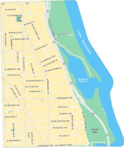
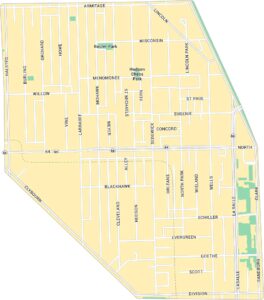
Lincoln Park Map, Chicago
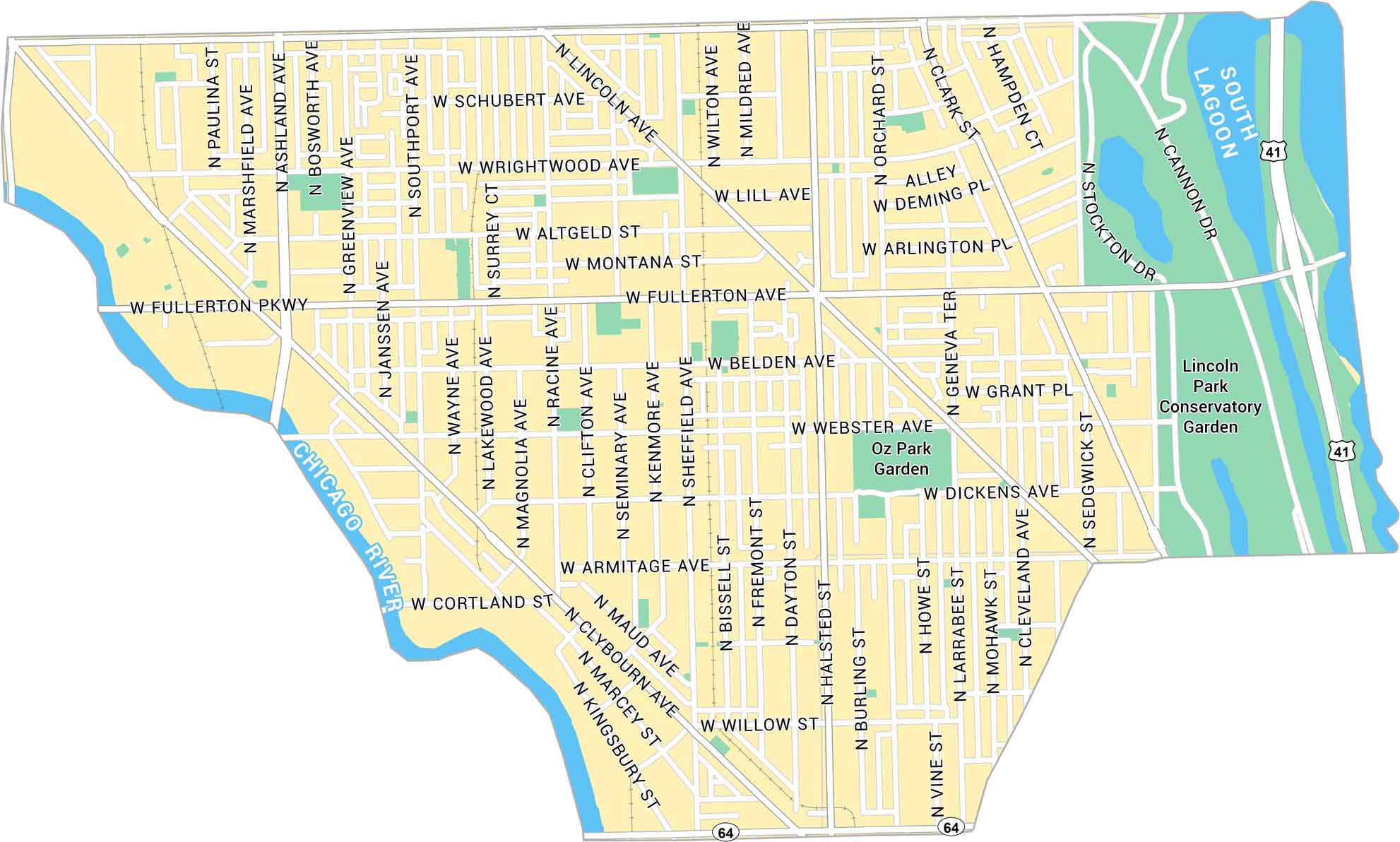
Discover Lincoln Park with our road map. You can find this neighborhood just north of downtown Chicago. It’s bound by Chicago River to the west and Lake Michigan to the east.
Map Information
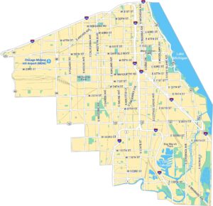
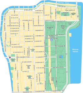
Chicago Neighborhood Maps
See our neighborhood maps for a closer look of the city.

On the Map
Interstates/Highways: US Hwy 41, State Rte 64 Major Roads: Fullerton Pkwy, Armitage Ave, Clark St, Halsted St, Lincoln Ave, Ashland Ave, Racine Ave, Sheffield Ave, Webster Ave, Wrightwood Ave, Diversey Pkwy, Willow St, Cortland St, Dickens Ave, Belden Ave, Altgeld St, Montana St, Schubert Ave, Lill Ave, Grant Pl Rivers/Lagoons: Chicago River, South Lagoon Parks: Oz Park Garden, Lincoln Park Conservatory GardenIllinois City Maps
Explore Chicago and urban regions of Illinois


