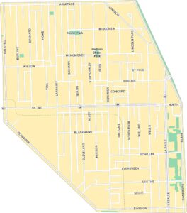
Logan Square Map, Chicago
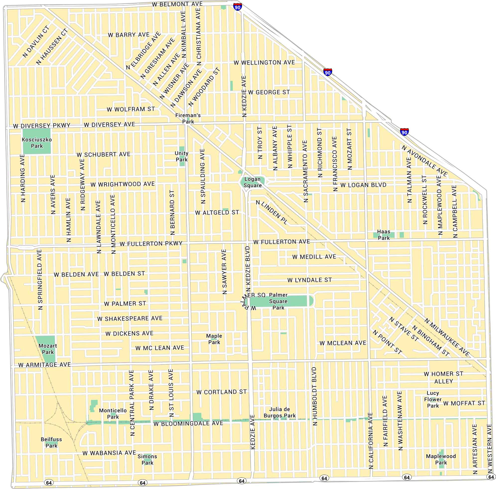
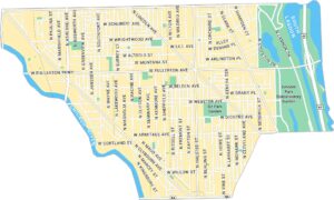
Our map of Logan Square shows the northwest Chicago neighborhood centered around its historic boulevard. It highlights main streets, parks, and the square itself.
Map Information
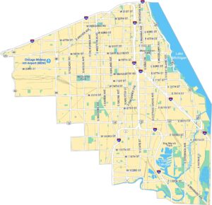
Chicago Neighborhood Maps
See our neighborhood maps for a closer look of the city.

On the Map
Interstates/Highways: I-90, State Rte 64 Major Roads: Fullerton Ave, Diversey Ave, Armitage Ave, Milwaukee Ave, Western Ave, Kedzie Ave, Logan Blvd, Belmont Ave, California Ave, Wrightwood Ave, Palmer St, Dickens Ave, Cortland St, Bloomingdale Ave, Wabansia Ave, Humboldt Blvd, Kimball Ave, Central Park Ave, Sacramento Ave, Richmond St Parks: Palmer Square Park, Haas Park, Unity Park, Fireman’s Park, Julia de Burgos Park, Maplewood Park, Lucy Flower Park, Simons Park, Beilfuss Park, Mozart Park, Kosciuszko Park, Monticello ParkIllinois City Maps
Explore Chicago and urban regions of Illinois


