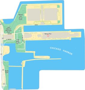
Riverwalk Map, Chicago
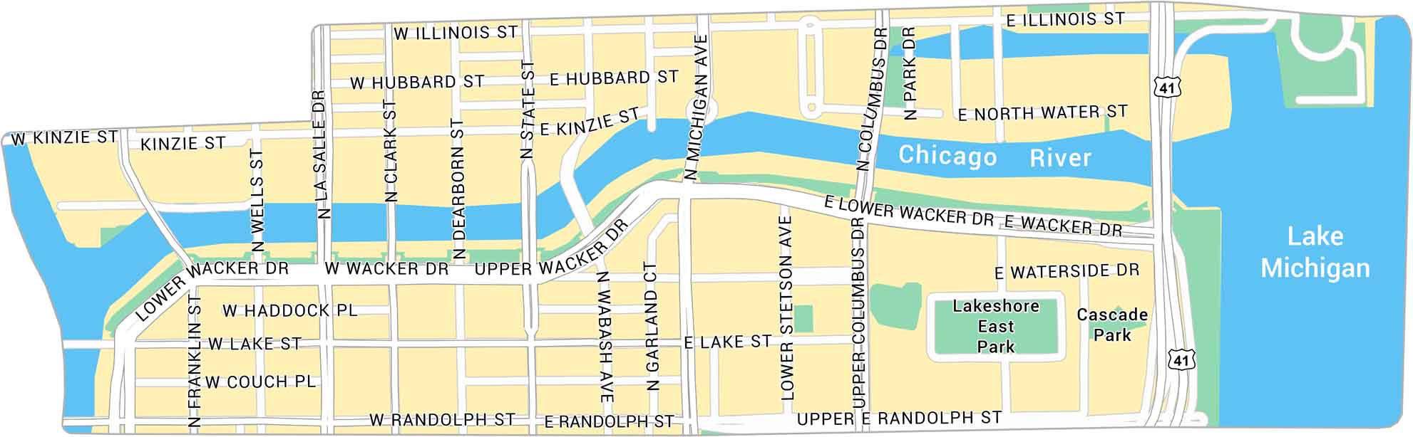
The Chicago Riverwalk stretches along the Main Branch of the Chicago River. Our map highlights its path and streets that connect to the city’s core.
Map Information
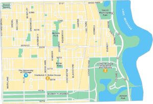
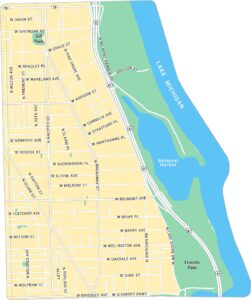
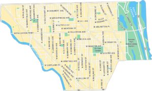
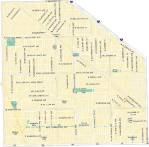
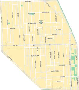
Chicago Neighborhood Maps
See our neighborhood maps for a closer look of the city.
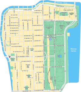
On the Map
Interstates/Highways: US Hwy 41 Major Roads: Michigan Ave, Wacker Dr, Randolph St, Lake St, Illinois St, Kinzie St, Hubbard St, Columbus Dr, LaSalle Dr, Clark St, Dearborn St, State St, Wells St, Franklin St, Wabash Ave, Stetson Ave, Garland Ct, North Water St, Waterside Dr, Park Dr Lakes/Rivers: Chicago River, Lake Michigan Parks: Lakeshore East Park, Cascade ParkIllinois City Maps
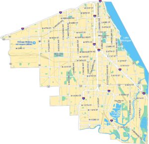
Explore Chicago and urban regions of Illinois


