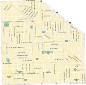
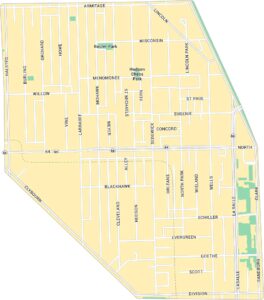
Wicker Park Map, Chicago
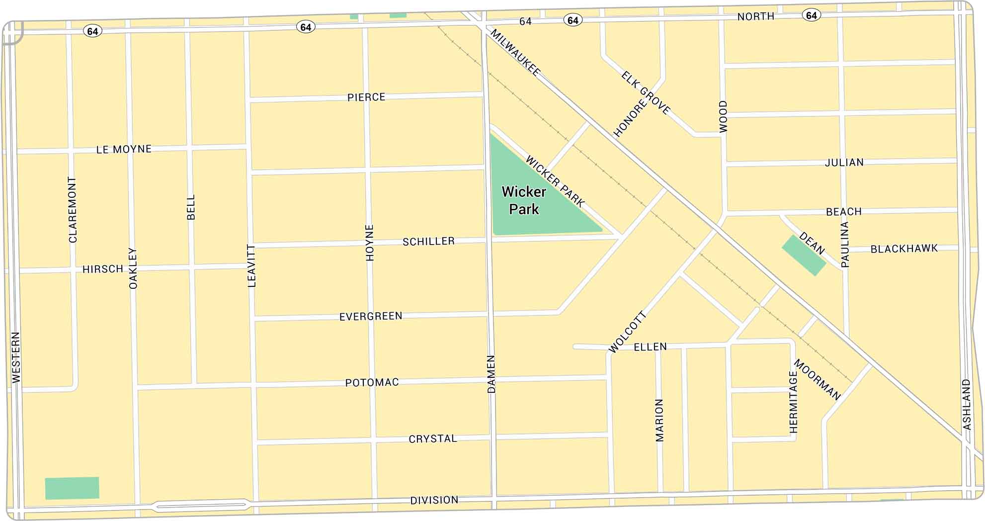
Wicker Park has lots of life to it. Our map lays out every corner, from the busy six-corner intersection to quiet side streets filled with murals. You’ll find the pulse of Chicago’s creativity here, block by block.
Map Information
On the Map
Interstates/Highways: State Rte 64 Major Roads: North Ave, Milwaukee Ave, Western Ave, Ashland Ave, Damen Ave, Division St, Wood St, Wicker Park Ave, Paulina St, Hermitage Ave, Wolcott Ave, Le Moyne St, Pierce Ave, Schiller St, Evergreen Ave, Potomac Ave, Crystal St, Hirsch St, Beach Ave, Blackhawk St Parks: Wicker ParkChicago Neighborhood Maps
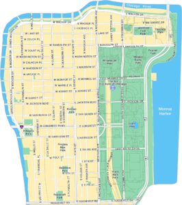
See our neighborhood maps for a closer look of the city.
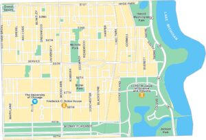
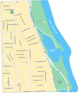
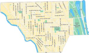
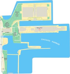

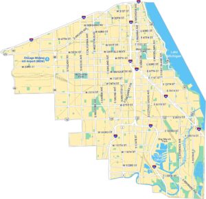
Illinois City Maps
Explore Chicago and urban regions of Illinois


