Home » State Maps » Map of Utah

Map of Utah

Utah Map

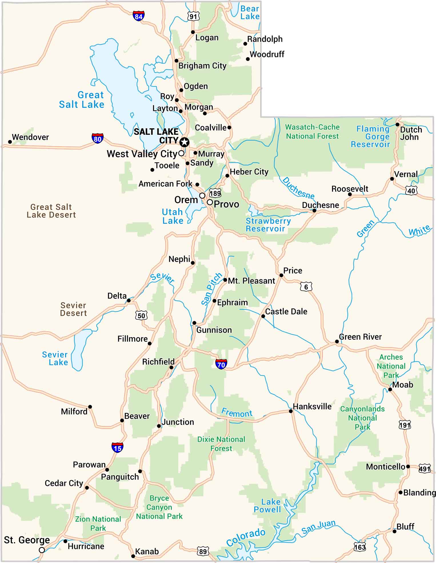
Utah is a state of extremes. You have red rock deserts all the way to snow-covered peaks. Our Utah road map shows highways stretching past canyons, salt flats, and hidden lakes. We also show you its major national parks and forests. It feel otherworldly, but it’s still distinctly Utah.
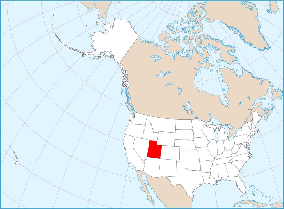
Map Information

  • State of Utah
  • Road Map of Utah
  • Free for personal and commercial purpose. Attribution is required. How to attribute?

On the Map

Utah Location Map
State Capital: Salt Lake City Major Cities: Orem, Provo, St. George, West Valley City Cities and Towns: American Fork, Beaver, Blanding, Bluff, Brigham City, Castle Dale, Cedar City, Coalville, Delta, Duchesne, Dutch John, Ephraim, Fillmore, Green River, Gunnison, Hanksville, Heber City, Hurricane, Junction, Kanab, Layton, Logan, Milford, Moab, Monticello, Morgan, Mt. Pleasant, Murray, Nephi, Ogden, Panguitch, Parowan, Price, Randolph, Richfield, Roosevelt, Roy, Sandy, Tooele, Vernal, Wendover, Woodruff Interstate Highways: I-15, I-70, I-80, I-84 US Routes: US-6, US-40, US-50, US-89, US-91, US-163, US-189, US-191, US-491 Lakes and Reservoirs: Bear Lake, Flaming Gorge Reservoir, Great Salt Lake, Lake Powell, Sevier Lake, Strawberry Reservoir, Utah Lake Rivers and Streams: Colorado River, Duchesne River, Green River, San Juan River, San Pitch River, Sevier River, White River National Parks and Forests: Arches National Park, Bryce Canyon National Park, Canyonlands National Park, Dixie National Forest, Wasatch-Cache National Forest, Zion National Park

City Maps of Utah

Here is Salt Lake City and Utah’s urban regions.

References

  1. Government Website of Utah
  2. Utah in Google Maps

Leave a Reply

Your email address will not be published. Required fields are marked *