Zion National Park Map
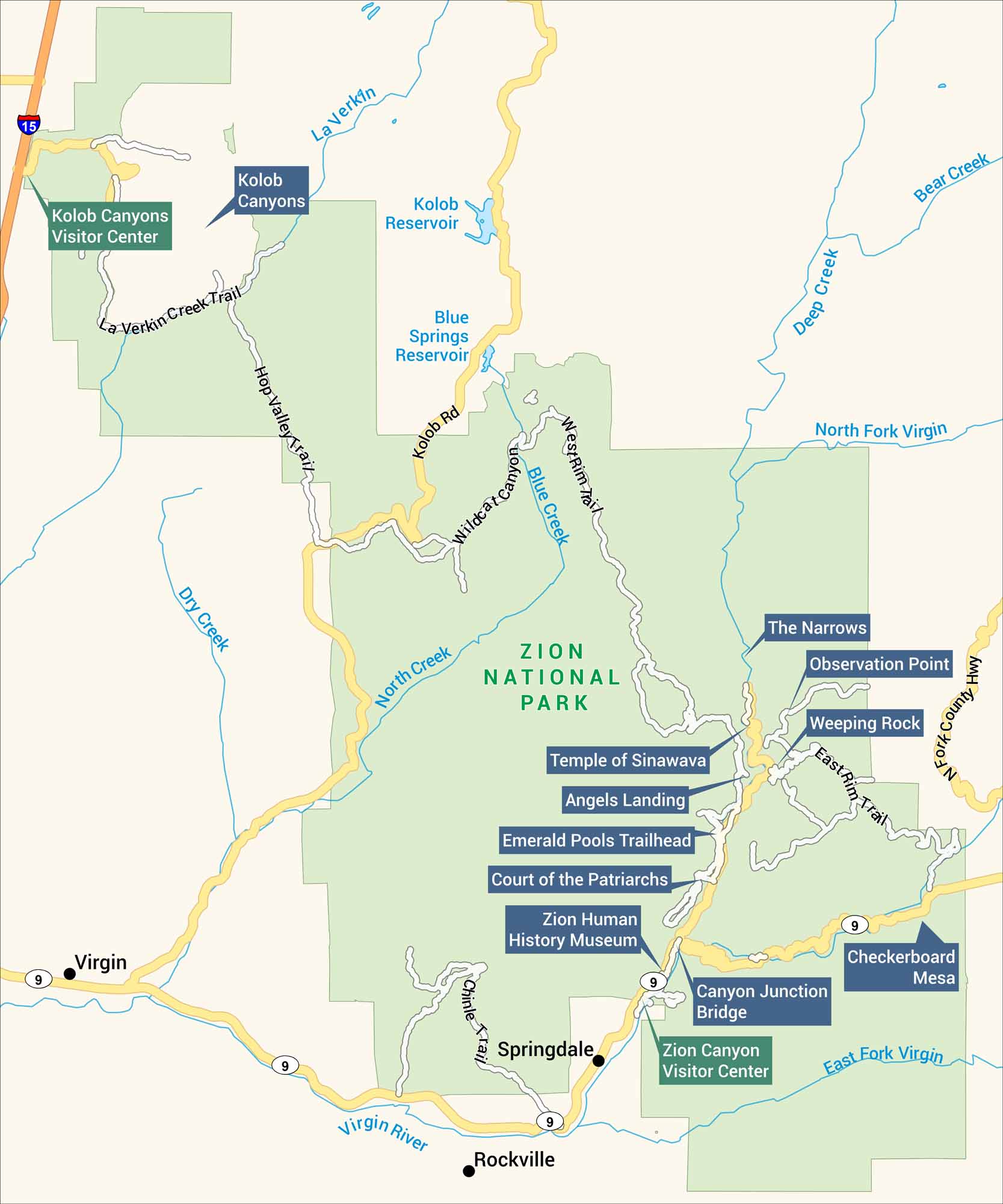
Our map of Zion National Park highlights its roads, rivers, and trails. Both visitor centers are marked, along with lakes and major points of interest. Find your way through Zion National Park with our map.
Map Information
On the Map
Parks: Zion National Park Visitor Centers: Zion Canyon Visitor Center, Kolob Canyons Visitor Center Highways and Roads: I-15, State Rte 9, Zion Canyon Scenic Dr, Zion-Mount Carmel Hwy, Kolob Terrace Rd, Kolob Canyons Rd Rivers/Reservoirs: Virgin River, North Fork Virgin River, East Fork Virgin River, Kolob Reservoir, Blue Springs Reservoir Cities/Towns: Springdale, Rockville, Virgin, Grafton (ghost town) Campgrounds/Park Sites: Watchman Campground, South Campground, Zion Lodge, Temple of Sinawava, The Grotto Other Landmarks: Angels Landing, The Narrows, Weeping Rock, Emerald Pools, Checkerboard Mesa, Great White Throne, Court of the Patriarchs, Kolob Arch, Horse Ranch Mountain, West Rim, Lava Point, Zion Human History MuseumNational Park Maps
Find maps of green spaces and national parks near you.


