Texas Hill Country Map

Texas Hill Country is all rolling hills. It feels rugged, calm, and unmistakably Texas. Drive the backroads of Texas Hill Country. But first get to know it a bit better with our map.
Map Information
On the Map
Counties within Texas Hill Country: Bandera, Blanco, Burnet, Comal, Crockett, Edwards, Gillespie, Hays, Irion, Kendall, Kerr, Kimble, Kinney, Llano, Mason, McCulloch, Medina, Menard, Mills, Real, Reagan, San Saba, Schleicher, Sutton, Travis, Uvalde, WilliamsonNatural Region Maps
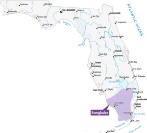
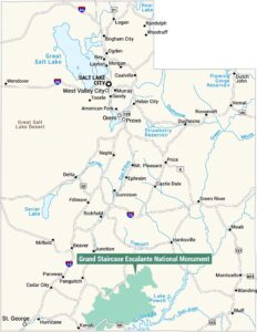
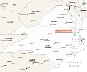
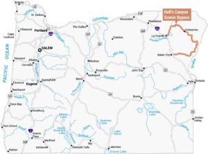
Geographic landforms, wilderness zones, deserts, mountain ranges, and terrain.