Map of Phoenix, Arizona
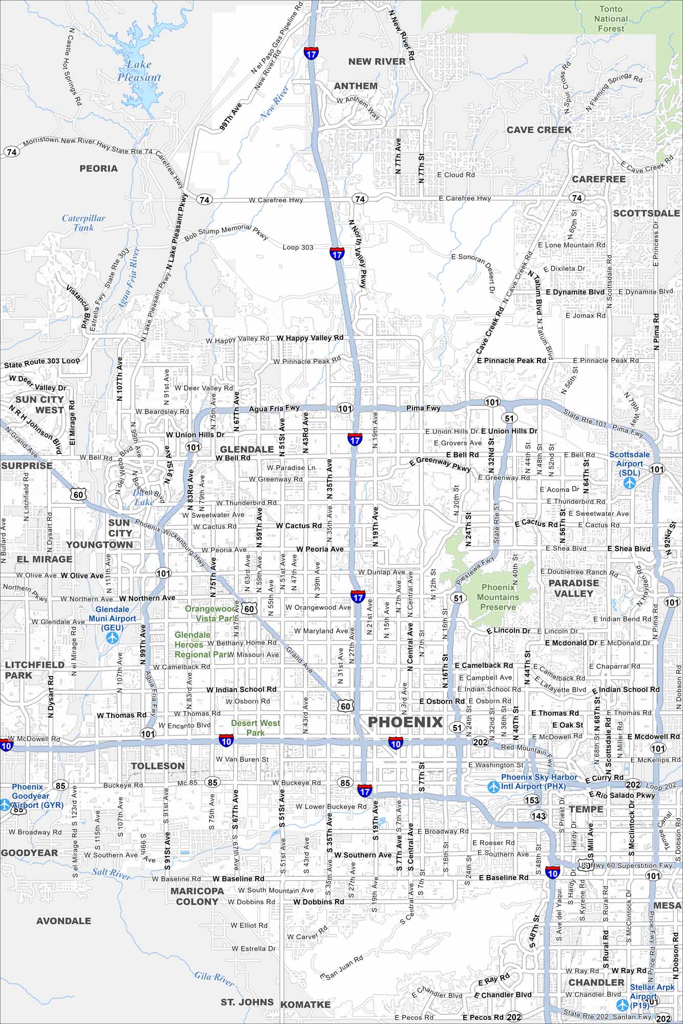
Phoenix sprawls across the Sonoran Desert, ringed by rugged mountains. Our map displays its grid system and wide highways. The city anchors a metro area of over 4 million people.
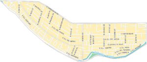
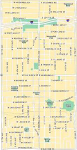
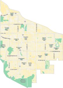
Phoenix Neighborhood Maps
See our neighborhood maps of Phoenix, Arizona.
Arizona State Maps
Check out our Arizona state maps we’ve put together


Map Information
On the Map
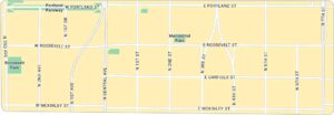
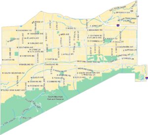
Interstates/Highways: I-10, I-17, Loop 101, Loop 202, US Hwy 60, State Rte 51, State Rte 143, State Rte 153, State Rte 85 Major Roads: Central Ave, Camelback Rd, Indian School Rd, McDowell Rd, Bell Rd, Thomas Rd, Van Buren St, Buckeye Rd, Northern Ave, Bethany Home Rd, Dunlap Ave, Peoria Ave, Cactus Rd, Thunderbird Rd, Greenway Rd, Union Hills Dr, Beardsley Rd, Happy Valley Rd, Pinnacle Peak Rd, Baseline Rd Airports: Phoenix Sky Harbor Intl Airport (PHX) Lakes and Reservoirs: Lake Pleasant, Viewpoint Lake Rivers and Creeks: Salt River, Gila River, New River, Agua Fria River Parks/Preserves/Forests: Phoenix Mountains Preserve, Desert West Park, Tonto National Forest Nearby Communities: Glendale, Scottsdale, Tempe, Mesa, Chandler, Gilbert, Peoria, Avondale, Goodyear, Surprise, Tolleson, Paradise Valley, Cave Creek, Carefree, Anthem, New River, Litchfield ParkArizona City Maps
Here’s our full batch of Arizona city maps


