South Mountain Map, Phoenix
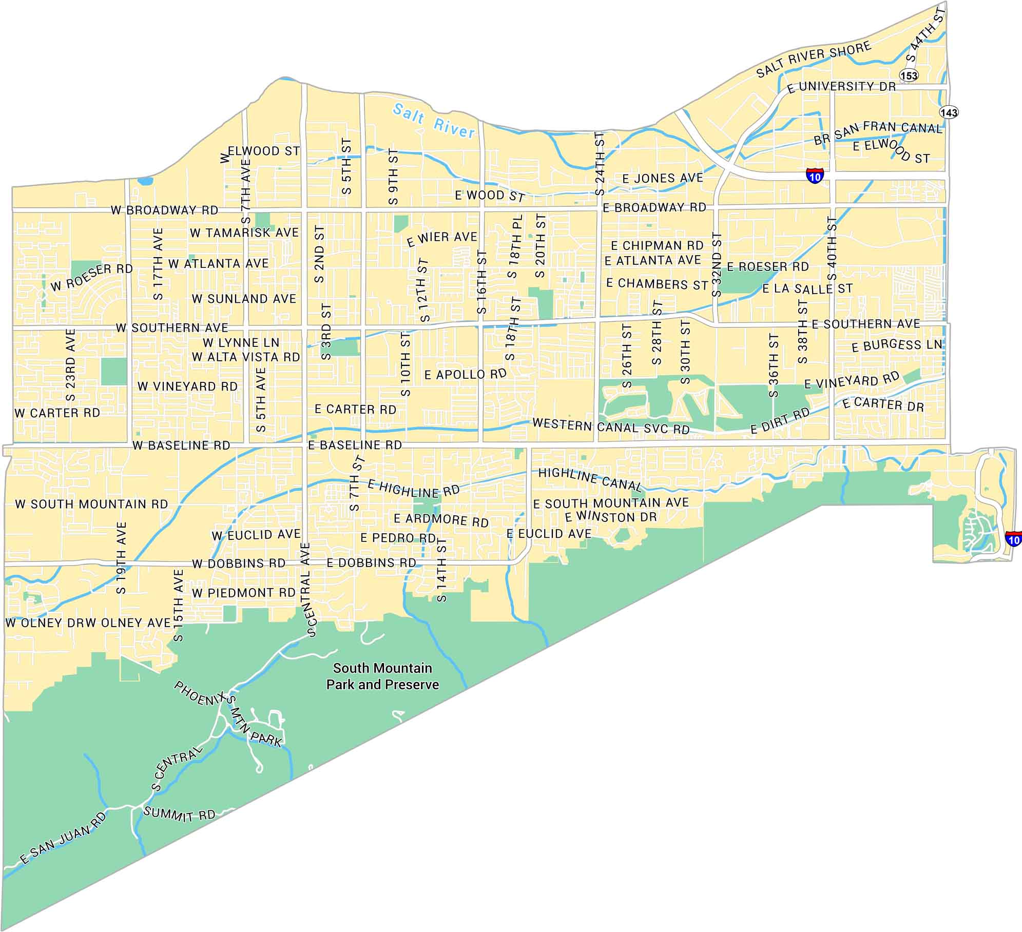
South Mountain is where Phoenix meets the edge of the Sonoran Desert. Our map of South Mountain shows its desert roads, rivers and parks.
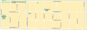
Map Information
On the Map
Interstates/Highways: I-10, State Rte 143, State Rte 153 Major Roads: Baseline Rd, Broadway Rd, Southern Ave, University Dr, Central Ave, Dobbins Rd, 24th St, 40th St, 44th St, 7th St, 7th Ave, South Mountain Ave, Roeser Rd, Vineyard Rd, Carter Rd, Euclid Ave, Piedmont Rd, Olney Ave, San Juan Rd, Summit Rd Major Rivers: Salt River Parks: South Mountain Park and PreservePhoenix Neighborhood Maps
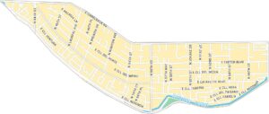
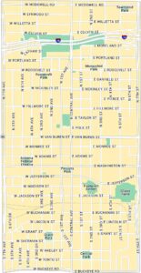
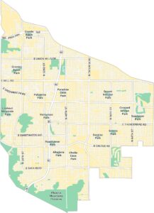
See our neighborhood maps of Phoenix, Arizona.
Arizona City Maps
Here’s our full batch of Arizona city maps


