Arcadia Map, Phoenix
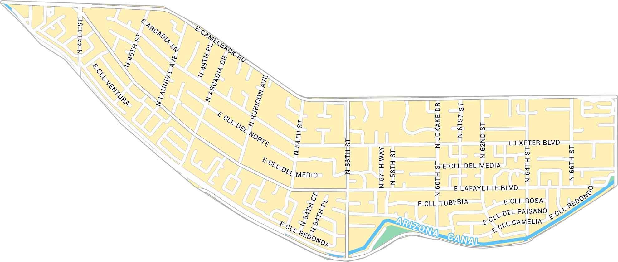
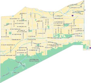
Here’s our map of Arcadia sitting under Camelback Mountain. It shows the main roads, canals, and local road that tie Phoenix and Scottsdale together.
Map Information
On the Map
Major Roads: Camelback Rd, Exeter Blvd, Lafayette Blvd, Arcadia Dr, 44th St, 56th St, 46th St, 64th St, 66th St, 62nd St, 61st St, 60th St, 58th St, 54th St, 49th Pl, Rubicon Ave, Launfal Ave, Arcadia Ln, Jokake Dr, Cll Del Medio Canals/Rivers: Arizona CanalPhoenix Neighborhood Maps
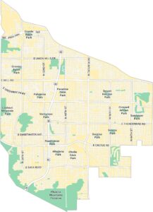
See our neighborhood maps of Phoenix, Arizona.
Arizona City Maps
Here’s our full batch of Arizona city maps


