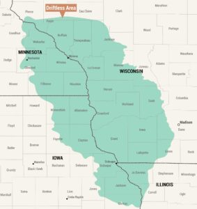
Owens Valley Map
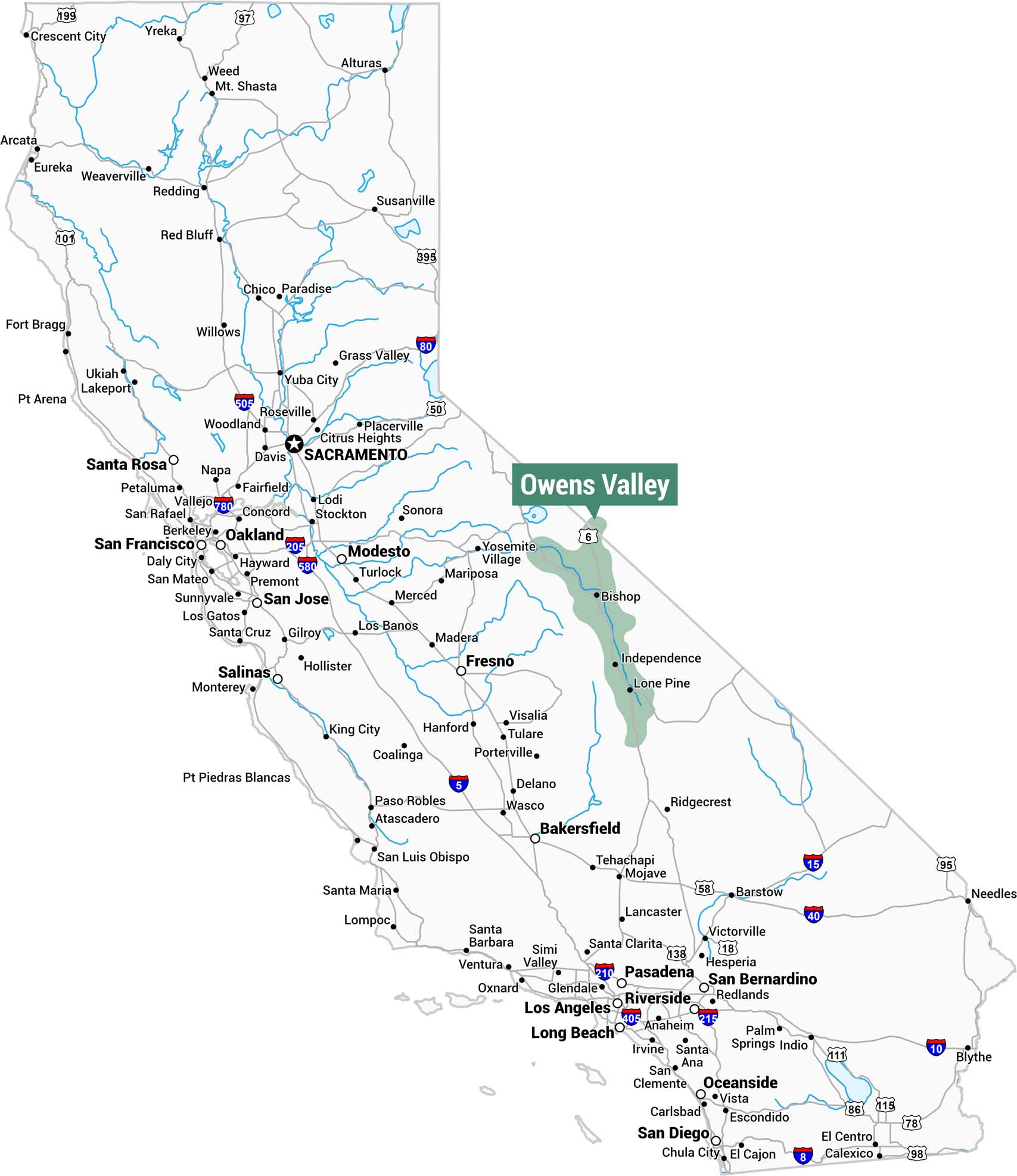
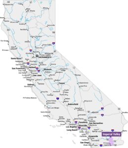
This map of California highlights the Owens Valley in green. This narrow valley runs along the eastern side of the state near the Nevada border. The valley stretches from just south of Bishop down through Independence and Lone Pine.
Map Information
On the Map
Cities within or adjacent to Owens Valley: Bishop, Independence, Lone Pine Highways passing through Owens Valley: US-6 Rivers passing through Owens Valley: Owens River States: California, NevadaReferences
Natural Region Maps
Geographic landforms, wilderness zones, deserts, mountain ranges, and terrain.