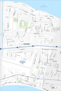
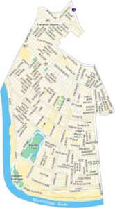
Map of New Orleans, Louisiana
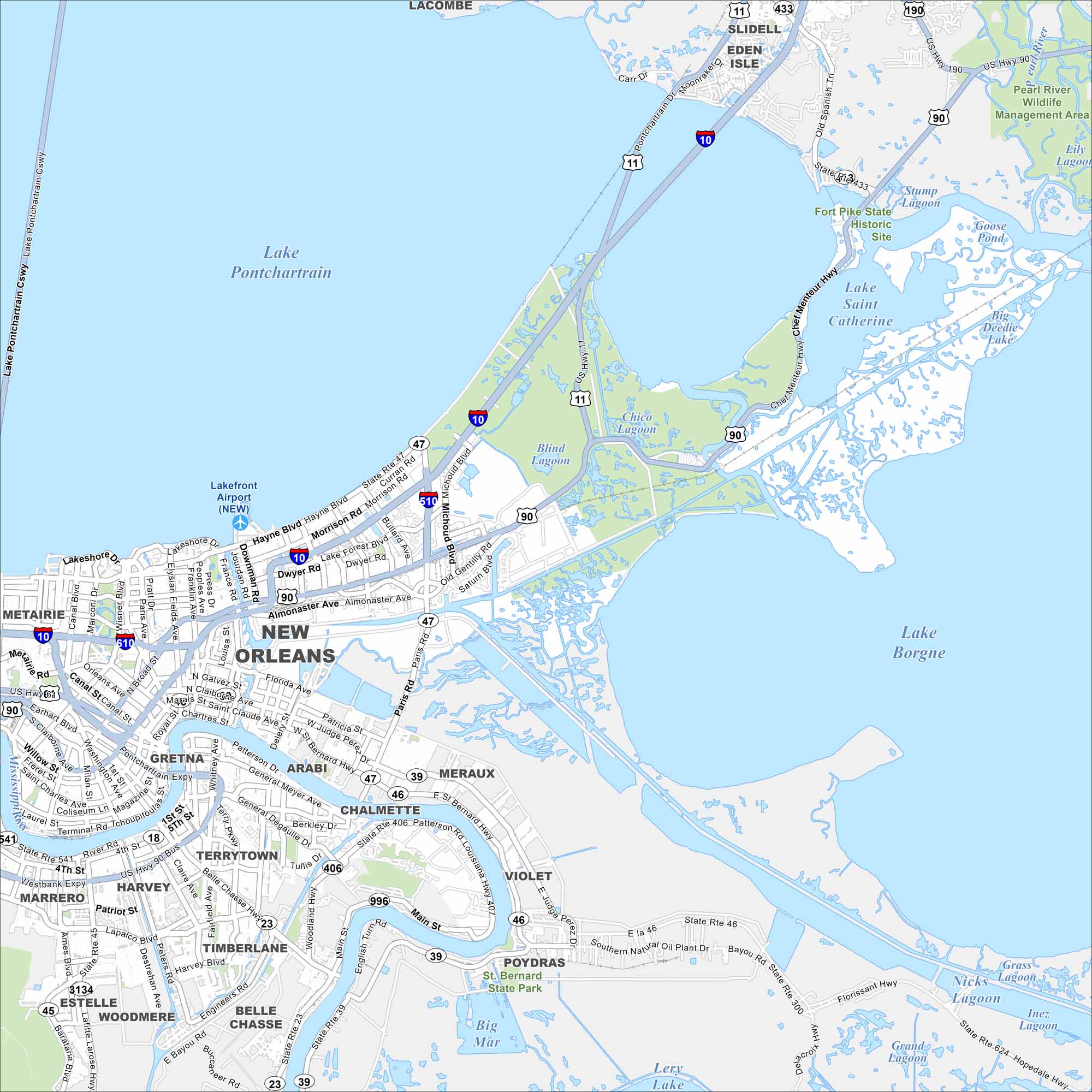
New Orleans stretches along the Mississippi River in southeastern Louisiana. Take a look at this map to see its winding street grids, historic neighborhoods and lakefront. The French Quarter anchors the city’s identity.
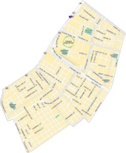
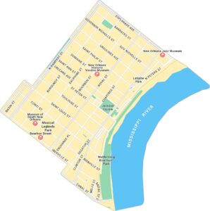
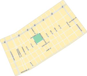
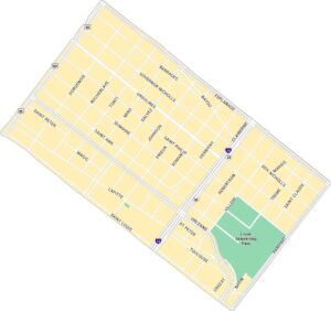
New Orleans Neighborhood Maps
See our neighborhood maps for a closer look of the city.
Louisiana State Maps
Here are maps showcasing the state of Louisiana


Map Information
On the Map
Interstates/Highways: I-10, I-510, I-610, US Hwy 11, US Hwy 90, State Rte 18, State Rte 23, State Rte 39, State Rte 45, State Rte 46, State Rte 47, State Rte 300, State Rte 406, State Rte 407, State Rte 541, State Rte 624, State Rte 996 Major Roads: Gentilly Blvd, Chef Menteur Hwy, St Claude Ave, Claiborne Ave, Canal St, Elysian Fields Ave, Paris Rd, Broad St, General Meyer Ave, General DeGaulle Dr, Belle Chasse Hwy, Lapalco Blvd, Westbank Expy, Earhart Blvd, Esplanade Ave, Florida Ave, Hayne Blvd, Morrison Rd, Dwyer Rd, Almonaster Ave Airports: Lakefront Airport (NEW) Lakes and Reservoirs: Lake Pontchartrain, Lake Borgne, Lake Saint Catherine, Lery Lake, Big Mar, Blind Lagoon, Chico Lagoon, Stump Lagoon, Goose Pond, Big Deedie Lake, Lily Lagoon Major Rivers: Mississippi River, Pearl River Parks and Preserves: Pearl River Wildlife Management Area, Fort Pike State Historic Site, St. Bernard State Park Nearby Communities: Metairie, Gretna, Arabi, Chalmette, Meraux, Violet, Poydras, Belle Chasse, Woodmere, Estelle, Timberlane, Harvey, Marrero, Terrytown, Slidell, Eden Isle, LacombeCity Maps of Louisiana
Explore New Orleans and Louisiana’s urban centers with our city maps