French Quarter District Map, New Orleans
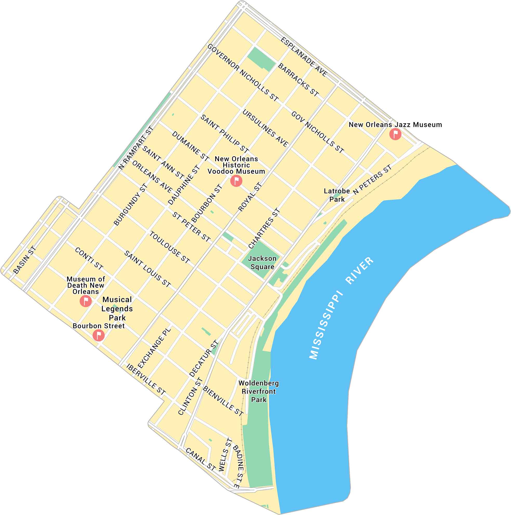
Our map of the French Quarter shows this neighborhood’s streets between the Mississippi River and Rampart Street. It maps out the blocks, plazas, and routes that shape the city’s oldest neighborhood.
Map Information
New Orleans Neighborhood Maps
See our neighborhood maps for a closer look of the city.
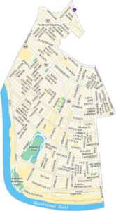
On the Map
Major Roads: Canal St, Bourbon St, Royal St, Chartres St, Decatur St, Rampart St, Esplanade Ave, Governor Nicholls St, Ursulines Ave, Saint Philip St, Dumaine St, Saint Ann St, Orleans Ave, Saint Louis St, Conti St, Toulouse St, Iberville St, Peters St, Basin St, Dauphine St Rivers: Mississippi River Parks: Jackson Square, Woldenberg Riverfront Park, Musical Legends Park, Latrobe Park Landmarks: New Orleans Jazz Museum, New Orleans Historic Voodoo Museum, Museum of Death New Orleans, Bourbon StreetCity Maps of Louisiana
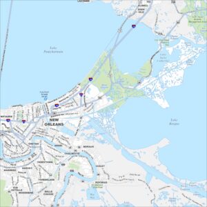
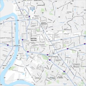
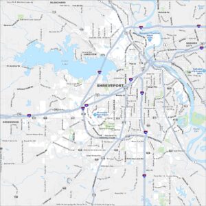
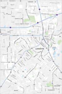
Explore New Orleans and Louisiana’s urban centers with our city maps