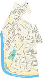
Treme Map, New Orleans
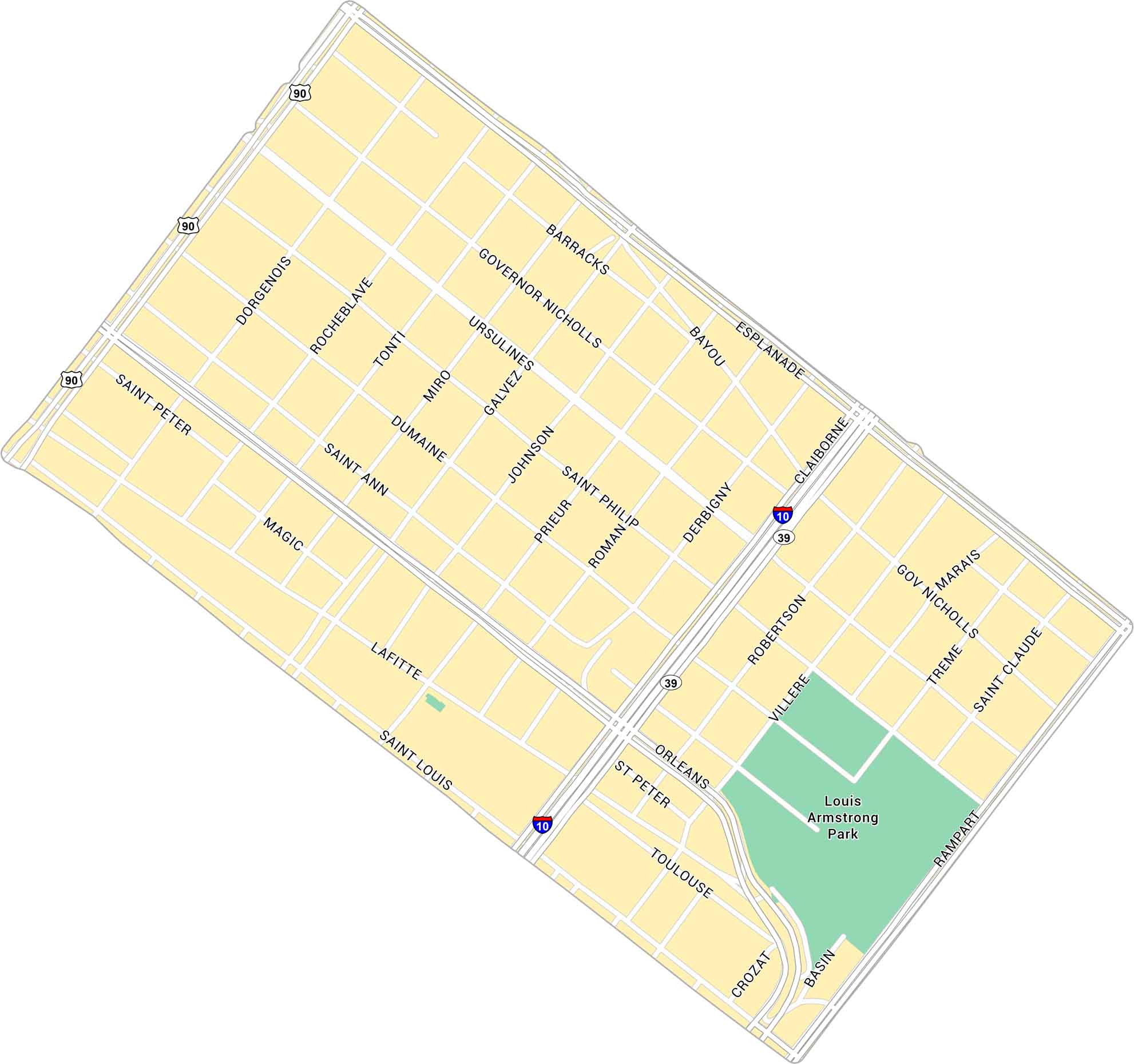
Tremé is the soul of New Orleans. Yep, it’s historic, proud, and still beating to its own rhythm. Our Treme map displays its narrow streets, from Louis Armstrong Park to Claiborne Avenue.
Map Information
On the Map
Interstates/Highways: I-10, US Hwy 90, State Rte 39 Major Roads: Esplanade Ave, Rampart St, Claiborne Ave, Basin St, Orleans Ave, St Bernard Ave, Lafitte Ave, St Peter St, St Louis St, Governor Nicholls St, Ursulines Ave, Barracks St, Dumaine St, St Philip St, St Ann St, Bayou Rd, Villere St, Marais St Parks: Louis Armstrong ParkNew Orleans Neighborhood Maps
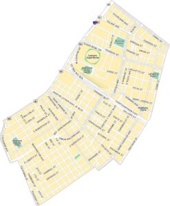
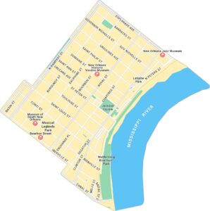
See our neighborhood maps for a closer look of the city.
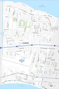
City Maps of Louisiana
Explore New Orleans and Louisiana’s urban centers with our city maps