Monterey Peninsula Map
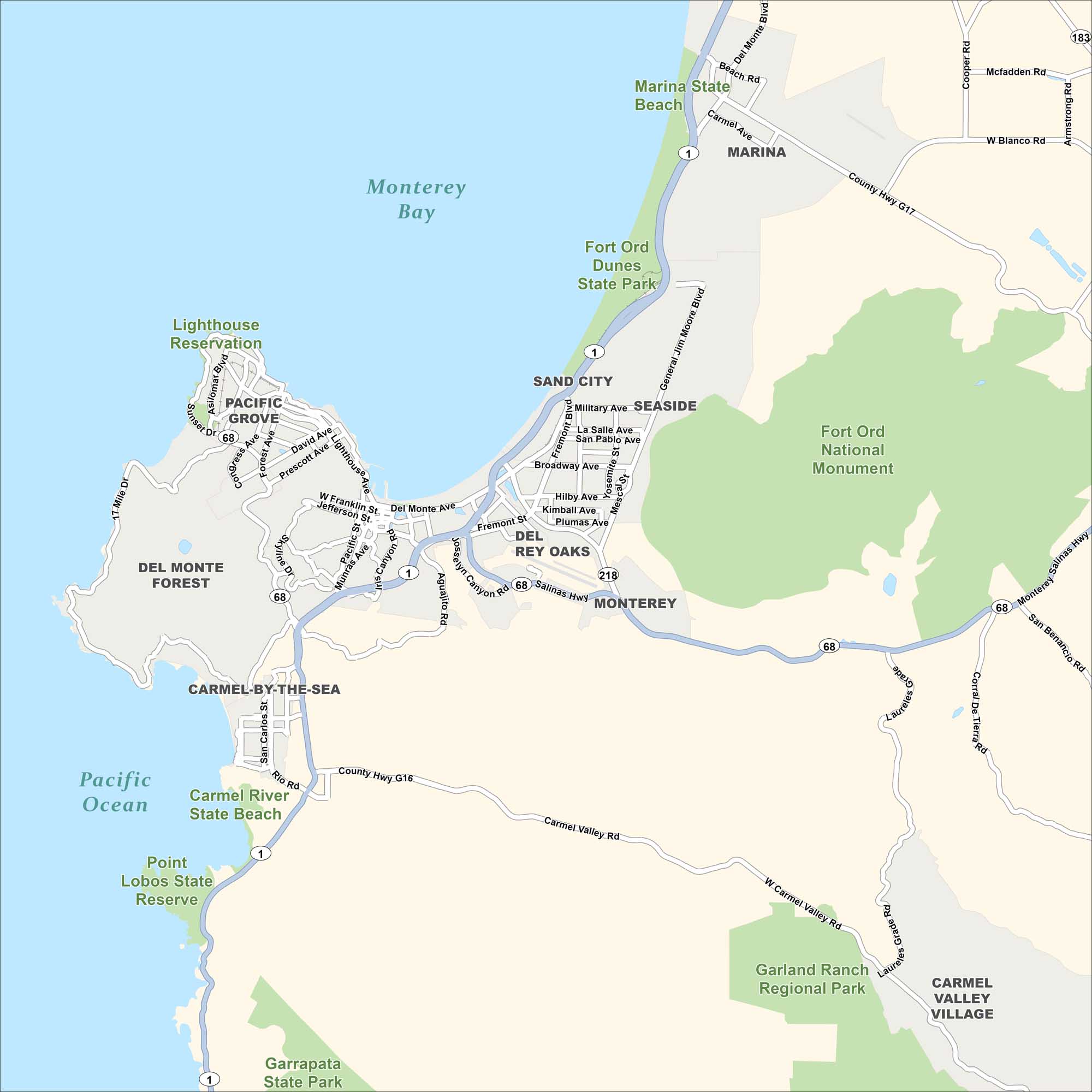
Our map of the Monterey Peninsula in California shows cities, parks, highways, and roads. The region is sandwiched between Monterey Bay to the north and the Pacific Ocean to the west.
Map Information
On the Map
Cities and Communities: Pacific Grove, Monterey, Carmel-by-the-Sea, Carmel Valley Village, Del Rey Oaks, Seaside, Sand City, Marina Parks & Protected Areas: Marina State Beach, Fort Ord Dunes State Park, Fort Ord National Monument, Lighthouse Reservation, Del Monte Forest, Carmel River State Beach, Point Lobos State Reserve, Garland Ranch Regional Park, Garrapata State Park Waterways: Monterey Bay, Pacific Ocean Highways/Roads: CA-1, CA-68, CA-218, CA-183, County Hwy G16, County Hwy G17, 17 Mile Dr, Carmel Valley Rd, Del Monte Blvd, Fremont Blvd, Lighthouse Ave, Asilomar Blvd, General Jim Moore Blvd, Salinas Hwy, Laureles Grade Rd, Pacific StReferences
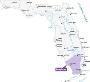
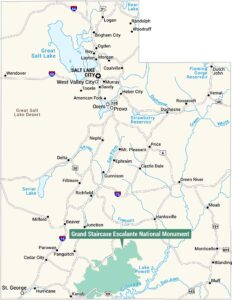
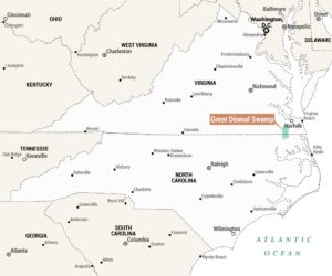
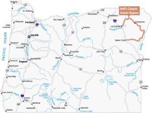
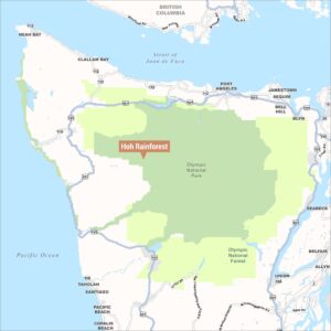
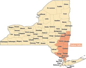
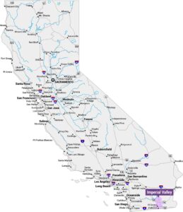
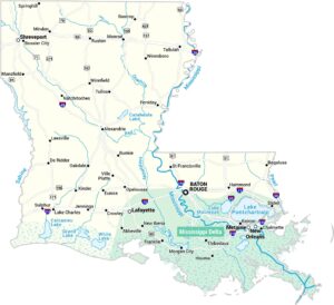
Natural Region Maps
Geographic landforms, wilderness zones, deserts, mountain ranges, and terrain.