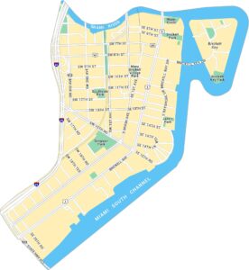
Little Havana Map, Miami

Our map of Little Havana shows the neighborhood just west of downtown Miami along the Miami River. You’ll find main streets, plazas, and nearby parks. It’s an area full of culture, music, and open spaces.
Map Information
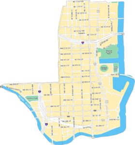
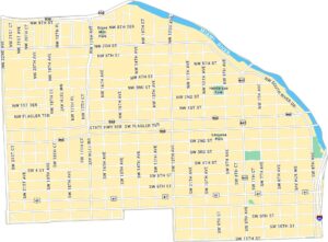
Miami Neighborhood Maps
See our neighborhood maps for a closer look of the city.
On the Map
Interstates/Highways: I-95, State Hwy 968, State Rte 836, State Rte 441, State Rte 41 Major Roads: Flagler Ter, South River Dr, 12th Ave, 17th Ave, 22nd Ave, 7th St, 1st St, 2nd St, 3rd St, 4th St, 5th St, 6th St, 8th St, 9th St, 10th St, 11th St, 13th Ave, 14th Ave, 15th Ave, 16th Ave Major Rivers: Miami River Parks: Henderson Park, Lecuona Park, Grove Mini ParkFlorida City Maps
Chart your course through Miami and Florida’s cities


