Downtown Miami Map
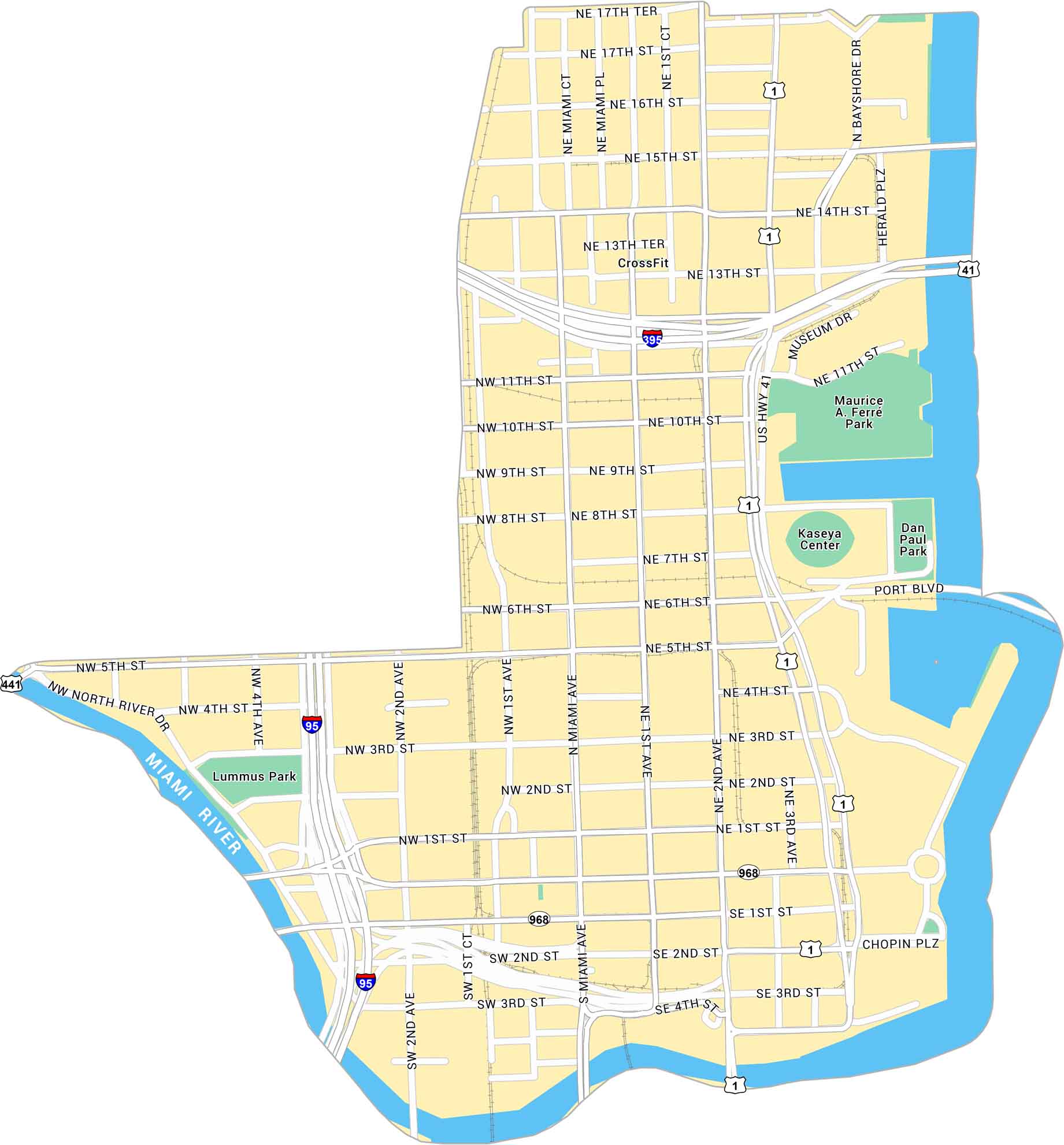
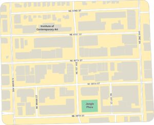
Our map of Downtown Miami shows the waterfront core along Biscayne Bay. It shows main streets, parks and the Miami River on the west side.
Map Information
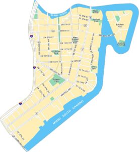
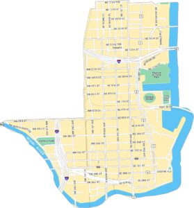
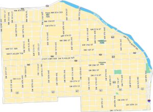
Miami Neighborhood Maps
See our neighborhood maps for a closer look of the city.
On the Map
Interstates/Highways: I-95, I-395, US Hwy 1, US Hwy 41, State Rte 968, State Rte 441 Major Roads: Miami Ave, 1st Ave, 2nd Ave, 1st St, 2nd St, 3rd St, 4th St, 5th St, 6th St, 7th St, 8th St, 9th St, 10th St, 11th St, 13th St, 14th St, 15th St, 16th St, North River Dr, Port Blvd Major Rivers: Miami River Parks: Maurice A Ferré Park, Lummus Park, Dan Paul Park Landmarks: Kaseya CenterFlorida City Maps
Chart your course through Miami and Florida’s cities


