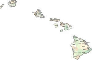
Hawaii Counties and Cities Map
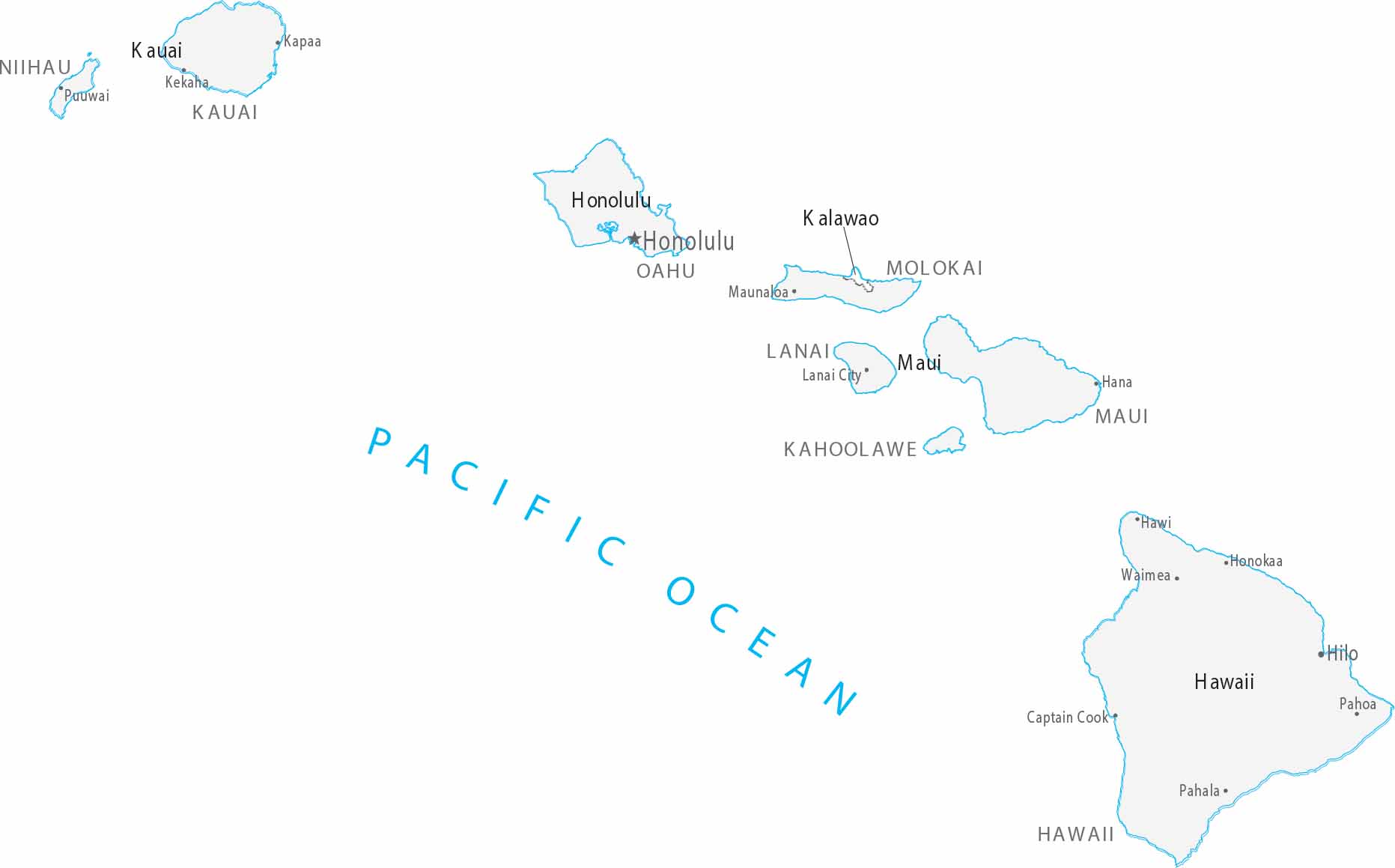
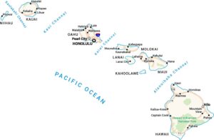
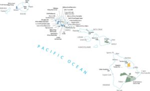
In Hawaii, counties align with island boundaries rather than land divisions. Cities cluster along coastlines, especially on Oahu. Interior areas remain largely undeveloped.
Map Information
On the Map
|
Name |
Population 2024 |
Total Area (sq mi) |
FIPS Code |
|
Hawaii County |
209,790 |
5,086.10 |
15-001 |
|
Honolulu County |
998,747 |
2,166.20 |
15-003 |
|
Kalawao County |
81 |
52.8 |
15-005 |
|
Kauai County |
73,840 |
1,266.30 |
15-007 |
|
Maui County |
163,688 |
2,398.30 |
15-009 |
Counties and Cities Maps
Select any state map below to view its counties and cities map.


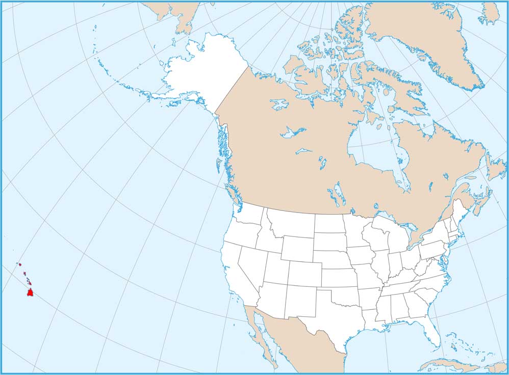
Hawaii State Maps
All the essential Hawaii maps you need are below