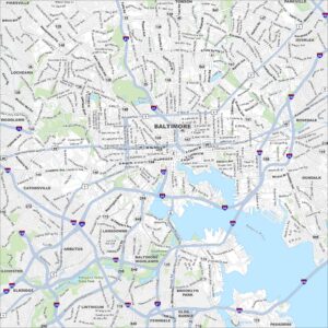
Map of Baltimore, Maryland
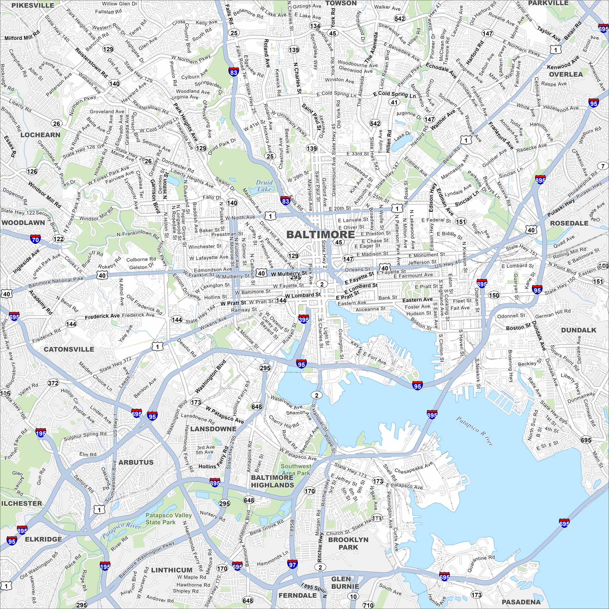
Our map of Baltimore highlights the highways, streets, and waterfront routes. Roads bend around the Inner Harbor because the city grew as a port. Baltimore is nicknamed Charm City.
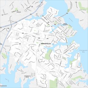
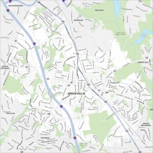
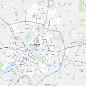
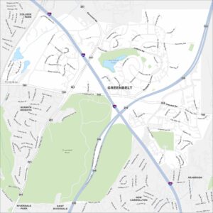
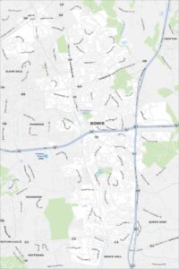
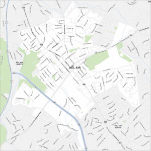
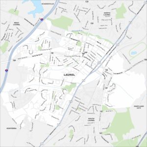
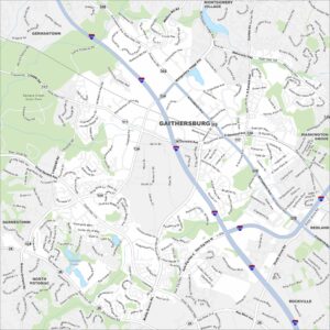
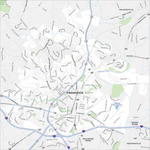
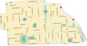
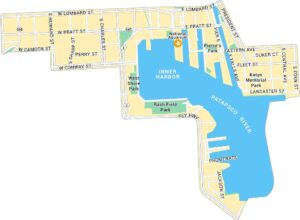
Baltimore Neighborhood Maps
See our neighborhood maps for a closer look of the city.
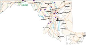
Maryland State Maps
See the geography of Maryland with our state maps


Map Information
On the Map
Interstates/Highways: I-70, I-83, I-95, I-195, I-295, I-395, I-695, I-895, US Hwy 1, US Hwy 40, State Hwy 2, State Hwy 25, State Hwy 26, State Hwy 33, State Hwy 41, State Hwy 45, State Hwy 122, State Hwy 129, State Hwy 134, State Hwy 139, State Hwy 140, State Hwy 144, State Hwy 147, State Hwy 150, State Hwy 151, State Hwy 170, State Hwy 173, State Hwy 542, State Hwy 648 Major Roads: Baltimore National Pike, Pulaski Hwy, Frederick Ave, Washington Blvd, York Rd, Reisterstown Rd, Belair Rd, Eastern Ave, Liberty Rd, Harford Rd, North Ave, Pratt St, Lombard St, Northern Pkwy, Cold Spring Ln, Druid Park Dr, University Pkwy, Erdman Ave, Hilton St, Patapsco Ave Lakes and Reservoirs: Druid Lake Major Rivers: Patapsco River Parks and Preserves: Southwest Area Park, Patapsco Valley State Park Nearby Communities: Pikesville, Towson, Parkville, Overlea, Rosedale, Dundalk, Pasadena, Glen Burnie, Ferndale, Linthicum, Baltimore Highlands, Lansdowne, Arbutus, Elkridge, Ilchester, Catonsville, Woodlawn, LochearnCity Maps of Maryland
Here are our city maps of Maryland