Downtown Baltimore Map
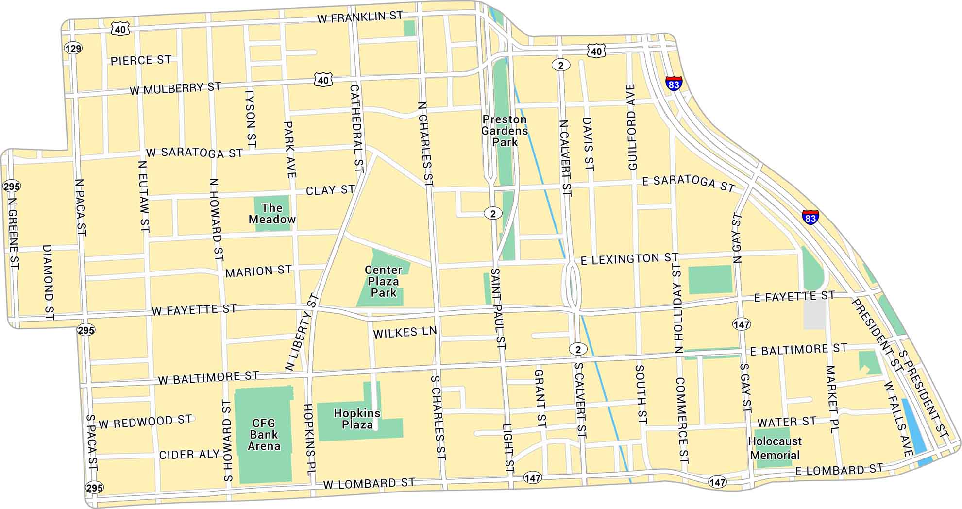
Baltimore sits on the Chesapeake Bay, a major hub in Maryland’s coastal region. This map of Downtown Baltimore shows the streets around the Inner Harbor. It includes interstates, parks, and local roads.
Map Information
On the Map
Interstates/Highways: I-83, US Hwy 40, State Rte 295, State Rte 129, State Rte 147, State Rte 2 Major Roads: Fayette St, Baltimore St, Lombard St, Pratt St, Charles St, Light St, Saint Paul St, Calvert St, Howard St, Paca St, Greene St, President St, Gay St, Liberty St, Cathedral St, Park Ave, Eutaw St, Mulberry St, Franklin St, Saratoga St Parks: Preston Gardens Park, Center Plaza Park, Hopkins Plaza, The Meadow Landmarks: CFG Bank Arena, Holocaust MemorialCity Maps of Maryland
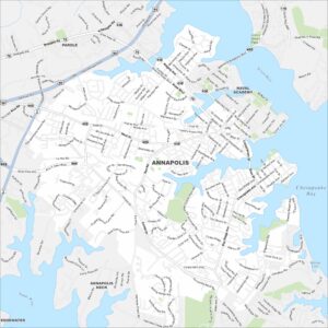
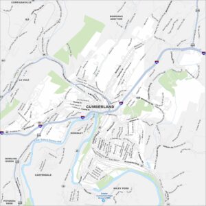
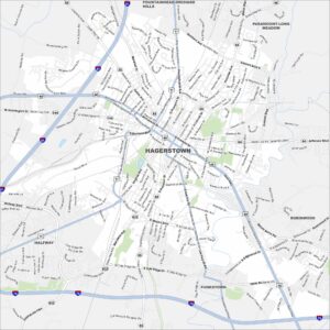
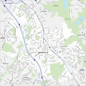
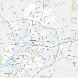
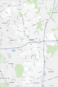
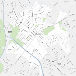
Here are our city maps of Maryland