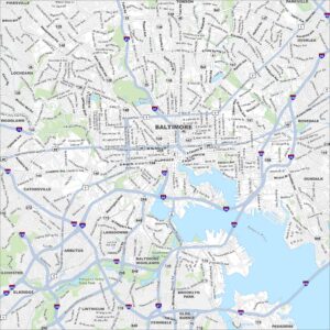
Inner Harbor Map, Baltimore
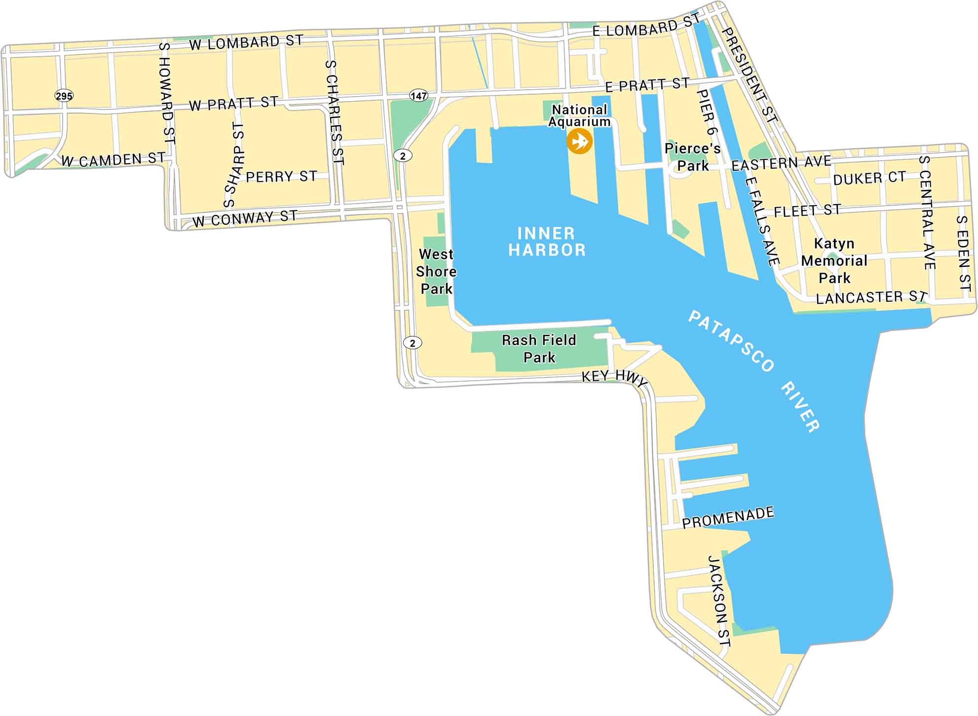
Inner Harbor is located along Baltimore’s waterfront, just south of downtown. Our map outlines the harbor, surrounding streets, and nearby attractions.
Map Information
On the Map
Interstates/Highways: State Rte 295, State Rte 147, State Rte 2 Major Roads: Pratt St, Lombard St, President St, Key Hwy, Eastern Ave, Fleet St, Central Ave, Eden St, Charles St, Howard St, Sharp St, Conway St, Camden St, Falls Ave, Lancaster St, Jackson St, Pier 6 Harbors/Rivers: Patapsco River, Inner Harbor Parks: West Shore Park, Rash Field Park, Pierce’s Park, Katyn Memorial Park Landmarks: National AquariumCity Maps of Maryland
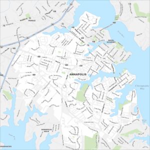
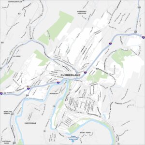
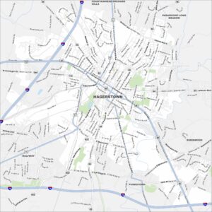
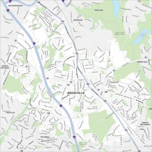
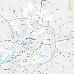
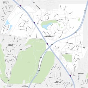
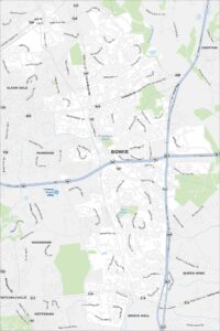
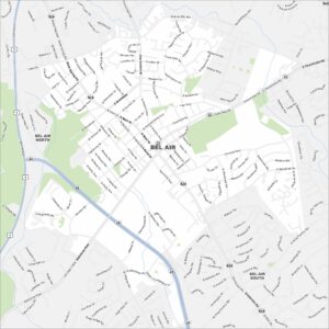
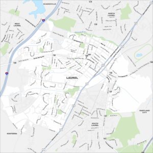
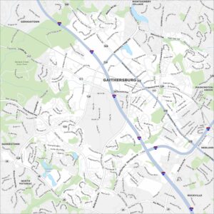
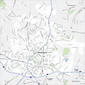
Here are our city maps of Maryland