Map of Milwaukee, Wisconsin
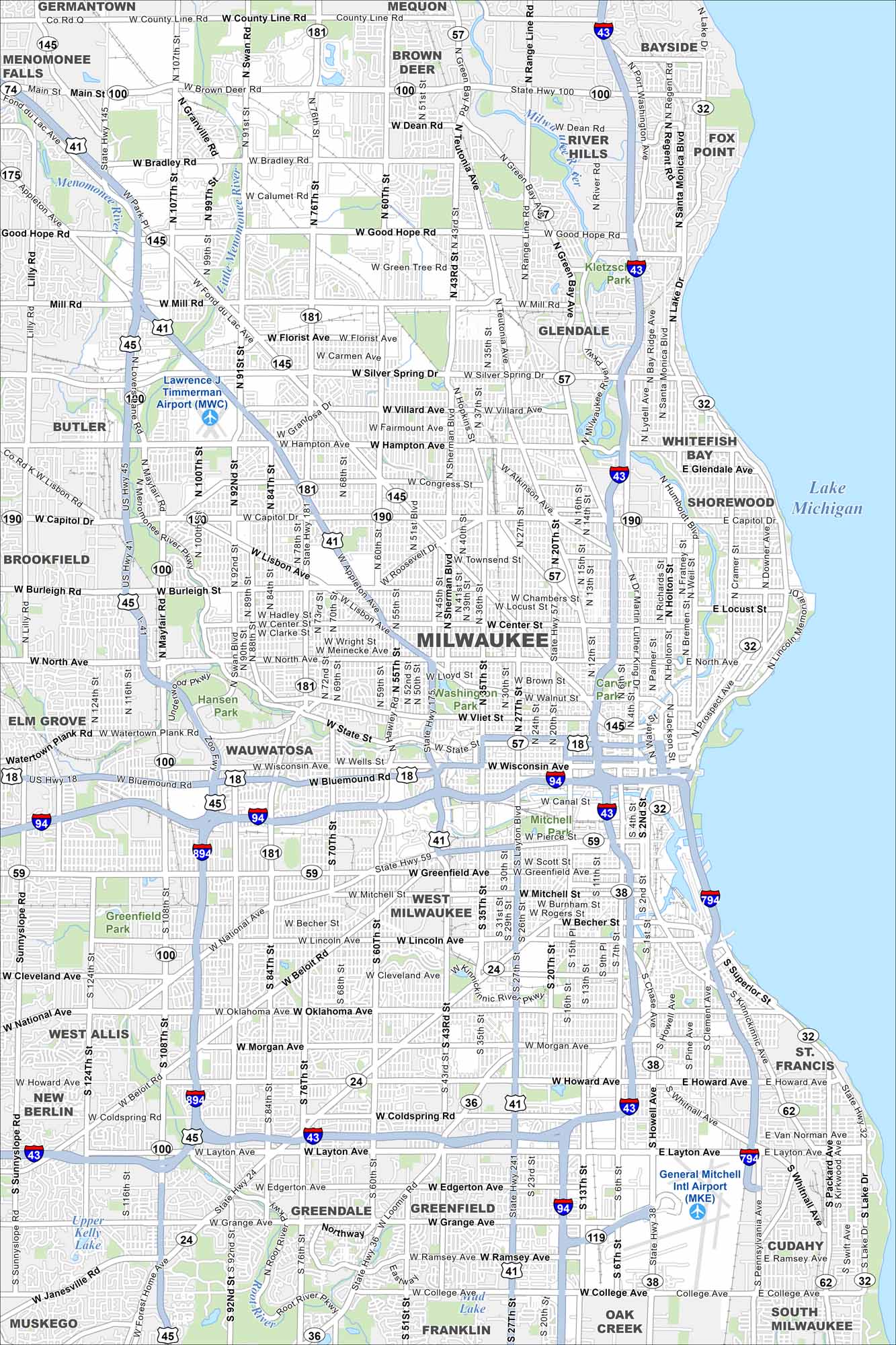
Our map of Milwaukee displays this city situated along Lake Michigan. The Milwaukee River cuts through downtown, with industry, neighborhoods, and cultural districts spread outward. Brewing heritage runs deep here.
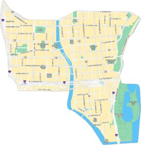
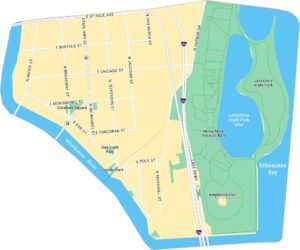
Milwaukee Neighborhood Maps
See our neighborhood maps for a closer look of the city.
Map Information
On the Map
Interstates/Highways: I-43, I-94, I-794, I-894, US Hwy 41, US Hwy 45, State Rte 24, State Rte 32, State Rte 36, State Rte 38, State Rte 57, State Rte 59, State Rte 62, State Rte 100, State Rte 119, State Rte 145, State Rte 175, State Rte 181, State Rte 190 Major Roads: Wisconsin Ave, Layton Ave, 27th St, 76th St, Capitol Dr, Silver Spring Dr, Fond Du Lac Ave, Miller Park Way, Oklahoma Ave, Morgan Ave, Howard Ave, College Ave, Grange Ave, Greenfield Ave, National Ave, Forest Home Ave, Howell Ave, Mayfair Rd, North Ave, Lisbon Ave Airports: General Mitchell Intl Airport (MKE), Lawrence J Timmerman Airport (MWC) Lakes and Reservoirs: Lake Michigan Major Rivers: Milwaukee River, Menomonee River, Kinnickinnic River, Root River Parks and Preserves: Washington Park, Mitchell Park, Greenfield Park, Hansen Park Nearby Communities: Wauwatosa, West Allis, West Milwaukee, Greenfield, Greendale, Franklin, Oak Creek, Cudahy, South Milwaukee, St Francis, Whitefish Bay, Shorewood, Glendale, Brown Deer, Bayside, Fox Point, River HillsWisconsin State Maps
Discover maps of the Badger State.


City Maps of Wisconsin
See our Wisconsin maps designed for clarity.


