Map of Oklahoma City, Oklahoma
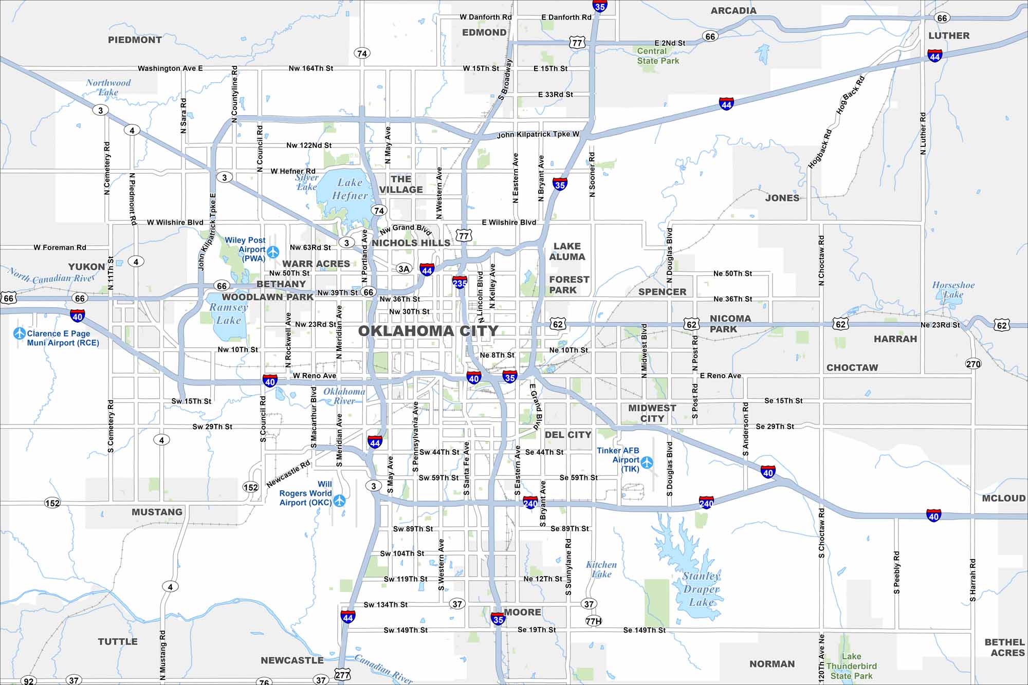
Oklahoma City stretches across the central plains with a wide urban layout. Use our map to see its downtown, parks, and major highways. The city is also home to the Oklahoma State Capitol and the National Memorial.
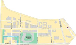
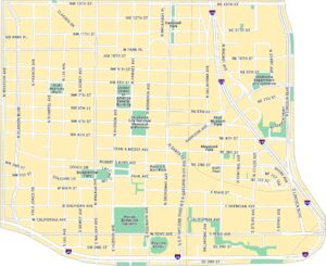
Oklahoma City Neighborhood Maps
See our neighborhood maps for a closer look of the city.
Map Information
On the Map
Interstates/Highways: I-35, I-40, I-44, I-235, I-240, US Hwy 62, US Hwy 66, US Hwy 77, State Rte 3, State Rte 3A, State Rte 4, State Rte 37, State Rte 74, State Rte 152 Major Roads: Reno Ave, 10th St, 23rd St, 36th St, 50th St, 63rd St, Wilshire Blvd, Hefner Rd, 122nd St, 150th St, 164th St, 15th St, 29th St, 44th St, 59th St, 74th St, 89th St, 104th St, 119th St, 134th St Airports: Will Rogers World Airport (OKC), Wiley Post Airport (PWA), Tinker AFB Airport (TIK), Clarence E Page Muni Airport (RCE) Lakes and Reservoirs: Lake Hefner, Stanley Draper Lake, Lake Aluma, Kitchen Lake Major Rivers: North Canadian River, Oklahoma River, Canadian River Parks and Preserves: Central State Park Nearby Communities: Edmond, Moore, Norman, Midwest City, Del City, The Village, Nichols Hills, Warr Acres, Bethany, Woodlawn Park, Yukon, Mustang, Tuttle, Newcastle, Piedmont, Arcadia, Luther, Jones, ChoctawOklahoma State Maps
Here is our map collection of the Sooner State.


City Maps of Oklahoma
Explore Oklahoma’s cities with our maps


