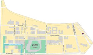
Bricktown Map, Oklahoma City
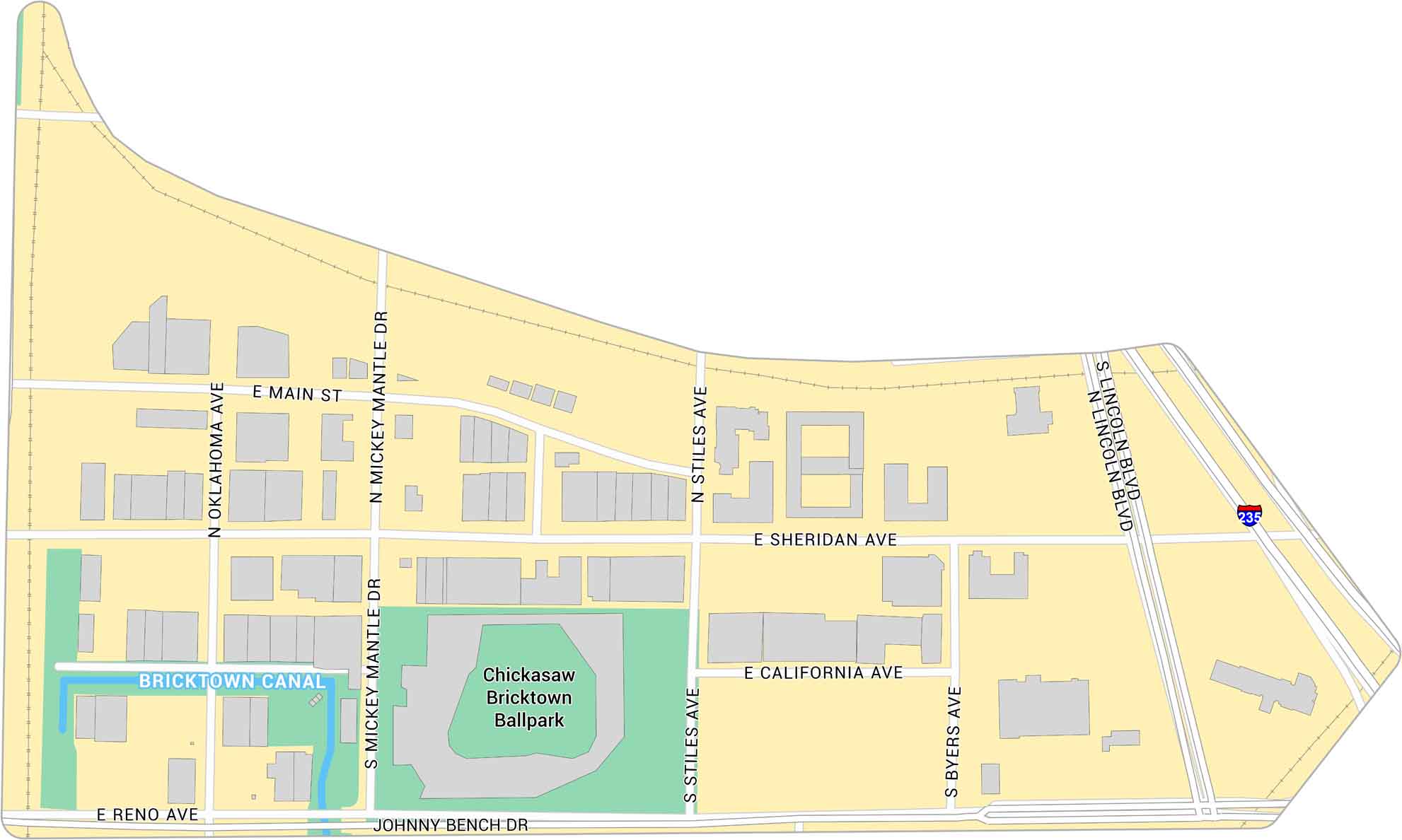
Our map of Bricktown shows the streets, warehouses, and nightlife district just east of downtown Oklahoma City. It highlights the Bricktown Canal and Chickasaw Bricktown Ballpark.
Map Information
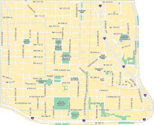
Oklahoma City Neighborhood Maps
See our neighborhood maps for a closer look of the city.
On the Map
Interstates/Highways: I-235 Major Roads: Reno Ave, Sheridan Ave, Main St, California Ave, Mickey Mantle Dr, Oklahoma Ave, Stiles Ave, Byers Ave, Lincoln Blvd, Johnny Bench Dr Canals/Rivers: Bricktown Canal Landmarks: Chickasaw Bricktown BallparkCity Maps of Oklahoma
Explore Oklahoma’s cities with our maps


