Downtown Oklahoma City Map
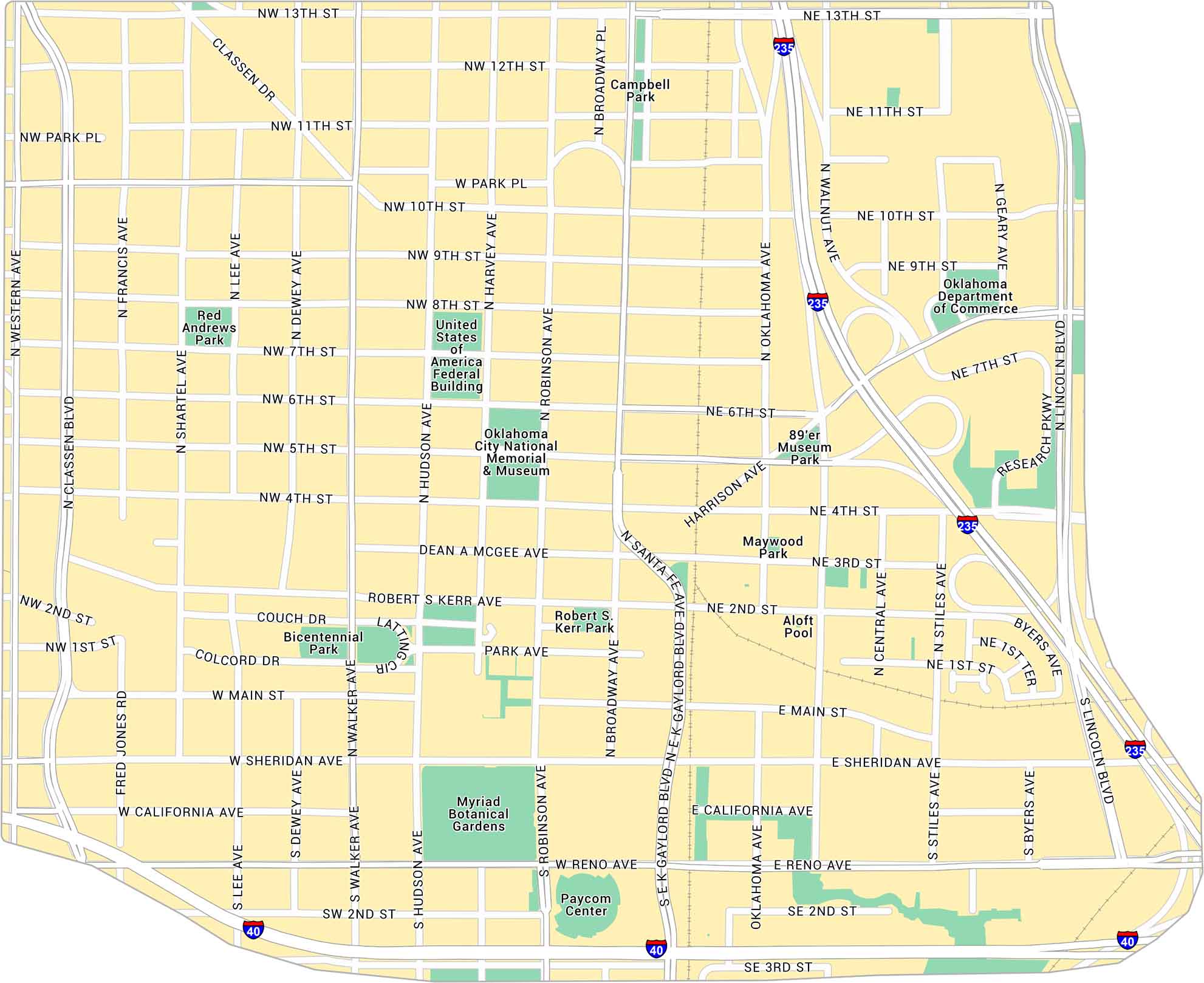
Downtown Oklahoma City sits at the center of the metro. Our map shows its main streets, parks, and the open spaces around Bricktown. It’s a wide, modern core with room to move.
Map Information
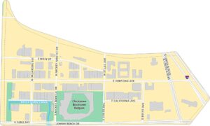
Oklahoma City Neighborhood Maps
See our neighborhood maps for a closer look of the city.

On the Map
Interstates/Highways: I-235, I-40 Major Roads: Broadway Blvd, Reno Ave, Sheridan Ave, Main St, Walker Ave, Robinson Ave, Hudson Ave, Harvey Ave, Shartel Ave, Classen Blvd, Western Ave, 13th St, 10th St, 6th St, 4th St, 1st St, California Ave, Harrison Ave, Gaylord Blvd, Central Ave Parks: Myriad Botanical Gardens, Bicentennial Park, Robert S. Kerr Park, Campbell Park, Red Andrews Park, Maywood Park, 89’er Museum Park Landmarks: Oklahoma City National Memorial & Museum, Paycom Center, United States of America Federal Building, Aloft Pool, Oklahoma Department of CommerceCity Maps of Oklahoma
Explore Oklahoma’s cities with our maps


