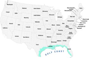
Atlantic Coastal Plain Map
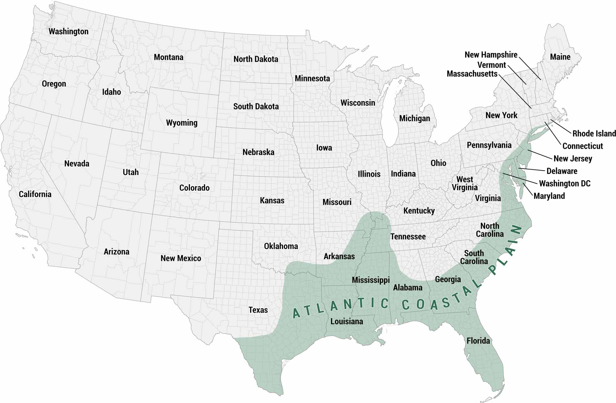
You’ll find the Atlantic Coastal Plain in our map of the United States. This region of the eastern and southeastern United States has low-lying terrain along the Atlantic Ocean.
Map Information
On the Map
The shaded region covers two connected sections:
Atlantic Seaboard (east coast strip): New Jersey, Delaware, Maryland, Virginia, North Carolina, South Carolina, Georgia, and Florida Gulf Coastal Plain (southern extension): Florida, Alabama, Mississippi, Louisiana, and Texas. It includes parts of Arkansas and Tennessee via the Mississippi EmbaymentReferences
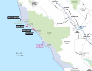
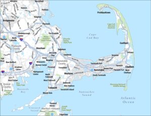
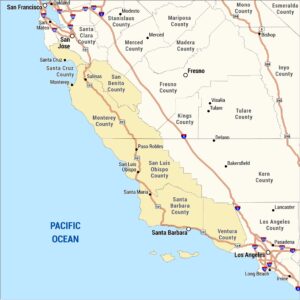
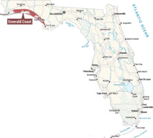
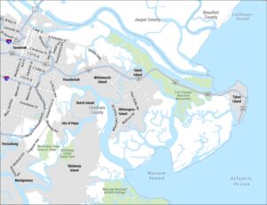
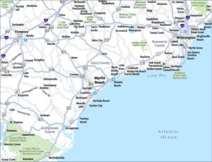
Coastal Region Maps
All coastal landscapes, maritime cultures, beaches, and islands.