Emerald Coast Map
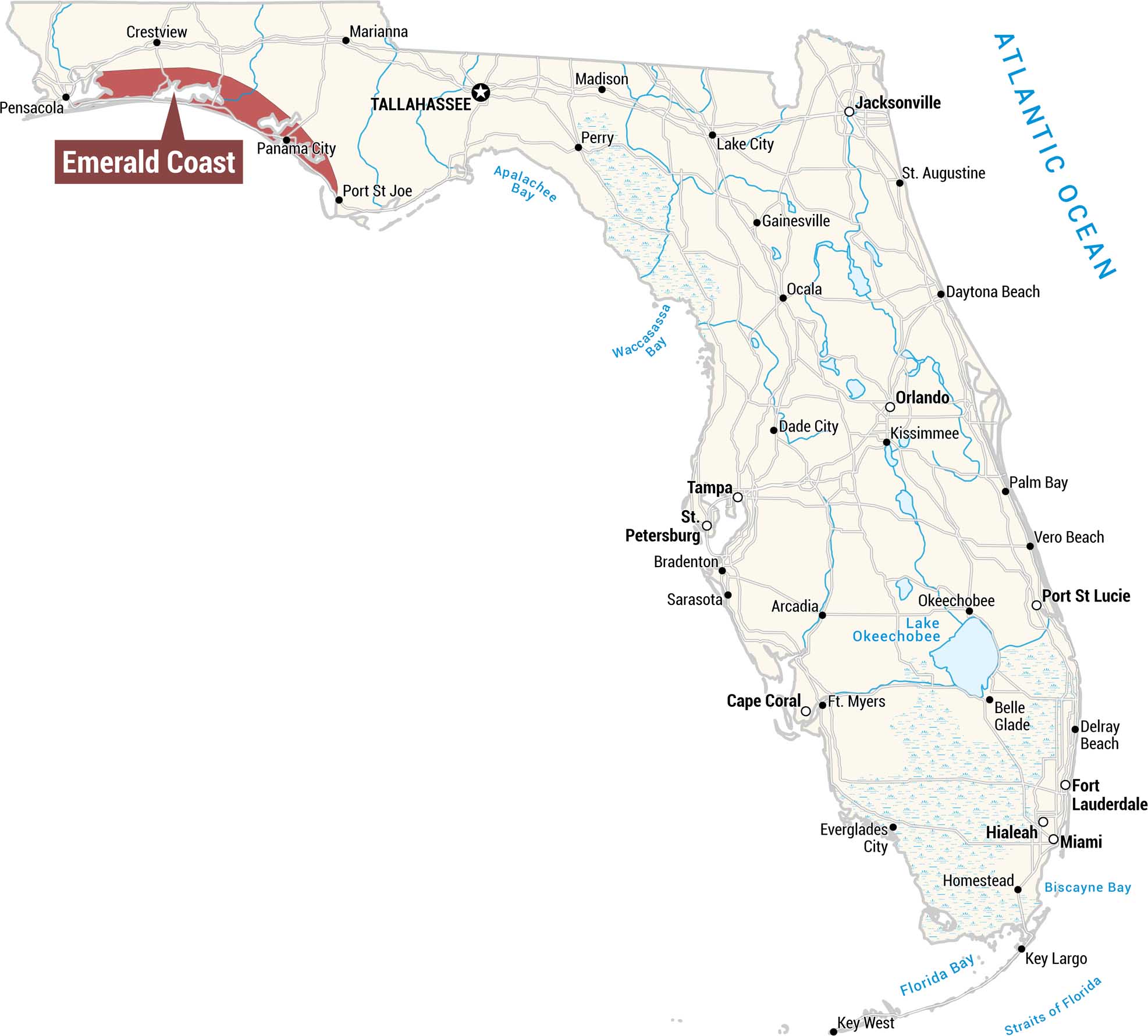
Our map displays the Emerald Coast in deep crimson red along the northwestern Panhandle coastline. This region stretches from Pensacola east to Port St. Joe along the Gulf Coast.
Map Information
On the Map
Emerald Coast Cities: Pensacola, Crestview, Panama City, Port St. Joe Other Florida Cities: Tallahassee, Marianna, Madison, Jacksonville, Perry, Lake City, St. Augustine, Gainesville, Ocala, Daytona Beach, Orlando, Kissimmee, Palm Bay, Dade City, Tampa, St. Petersburg, Bradenton, Sarasota, Arcadia, Cape Coral, Ft. Myers, Vero Beach, Port St. Lucie, Okeechobee, Belle Glade, Delray Beach, Fort Lauderdale, Hialeah, Miami, Everglades City, Homestead, Key Largo, Key West Waterways: Atlantic Ocean, Apalachee Bay, Waccasassa Bay, Lake Okeechobee, Biscayne Bay, Florida Bay, Straits of FloridaReferences
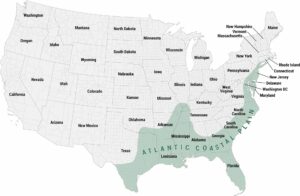
Coastal Region Maps
All coastal landscapes, maritime cultures, beaches, and islands.