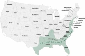
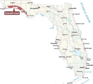
Gulf Coast Map
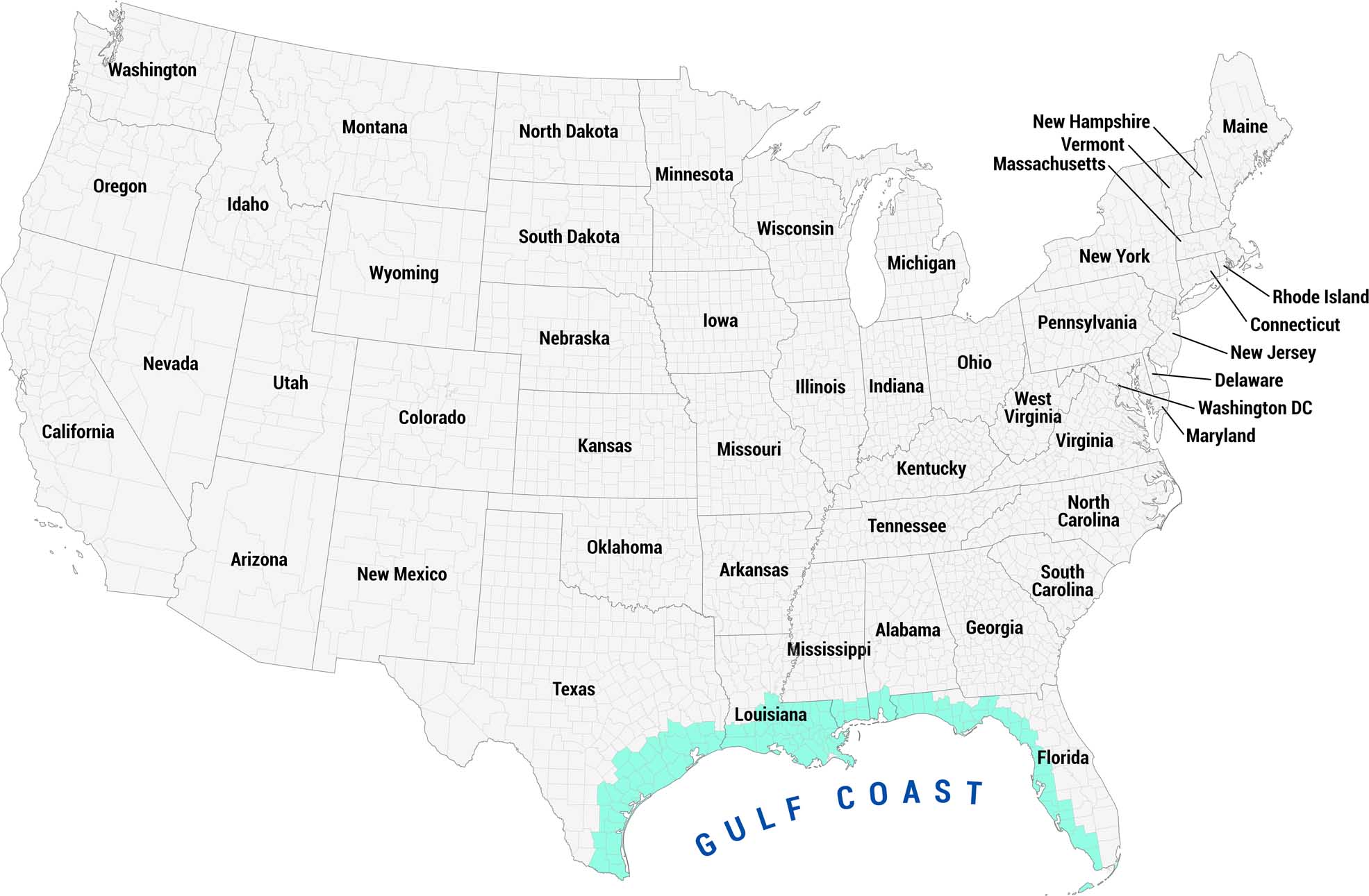
See our Gulf Coast map highlighted in teal along the southern coastline. This region sweeps all the way from Texas through Louisiana, Mississippi, Alabama, and down through Florida.
Map Information
On the Map
Gulf Coast States: Texas, Louisiana, Mississippi, Alabama, Florida Other States: Washington, Oregon, California, Nevada, Idaho, Montana, Wyoming, Utah, Colorado, Arizona, New Mexico, North Dakota, South Dakota, Nebraska, Kansas, Oklahoma, Arkansas, Tennessee, Kentucky, Georgia, South Carolina, North Carolina, Virginia, West Virginia, Maryland, Delaware, Washington DC, New Jersey, Connecticut, Rhode Island, Pennsylvania, New York, Massachusetts, Vermont, New Hampshire, Maine, Iowa, Illinois, Indiana, Ohio, Michigan, Wisconsin, Minnesota, MissouriReferences
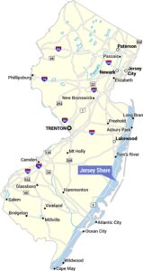
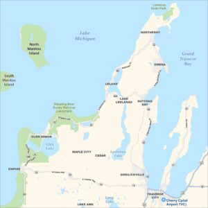
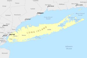
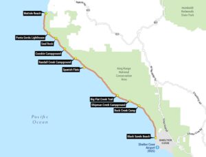
Coastal Region Maps
All coastal landscapes, maritime cultures, beaches, and islands.