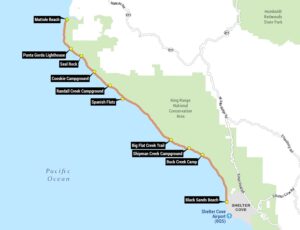
Big Sur Map
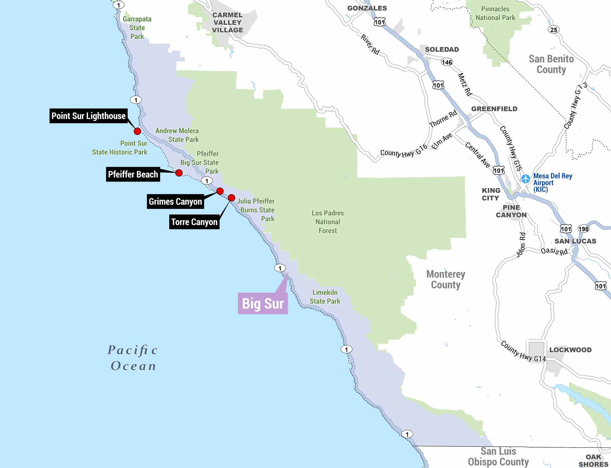
This is a detailed map of the Big Sur coastline in California. You’ll find the rugged stretch of CA-1 running along the Pacific Ocean. It runs from Carmel Valley Village south through Monterey County into San Luis Obispo County.
Map Information
On the Map
Points of Interest: Point Sur Lighthouse, Pfeiffer Beach, Grimes Canyon, Torre Canyon Parks and Protected Areas: Garrapata State Park, Point Sur State Historic Park, Andrew Molera State Park, Pfeiffer Big Sur State Park, Julia Pfeiffer Burns State Park, Limekiln State Park, Los Padres National Forest, Pinnacles National Park Towns/Communities: Carmel Valley Village, Gonzales, Soledad, Greenfield, King City, Pine Canyon, San Lucas, Lockwood, Oak Shores Airports: Mesa Del Rey Airport (KIC) Counties: Monterey County, San Benito County, San Luis Obispo County Highways and Roads: CA-1, US-101, CA-146, CA-198, CA-25, River Rd, Metz Rd, Thorne Rd, Elm Ave, Central Ave, County Hwy G16, County Hwy G15, County Hwy G14, County Hwy G3, Jolon Rd, Oasis Rd Bodies of Water: Pacific OceanReferences
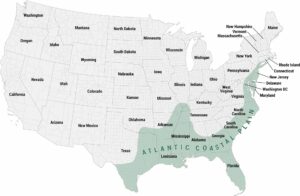
Coastal Region Maps
All coastal landscapes, maritime cultures, beaches, and islands.