Golden Isles Map
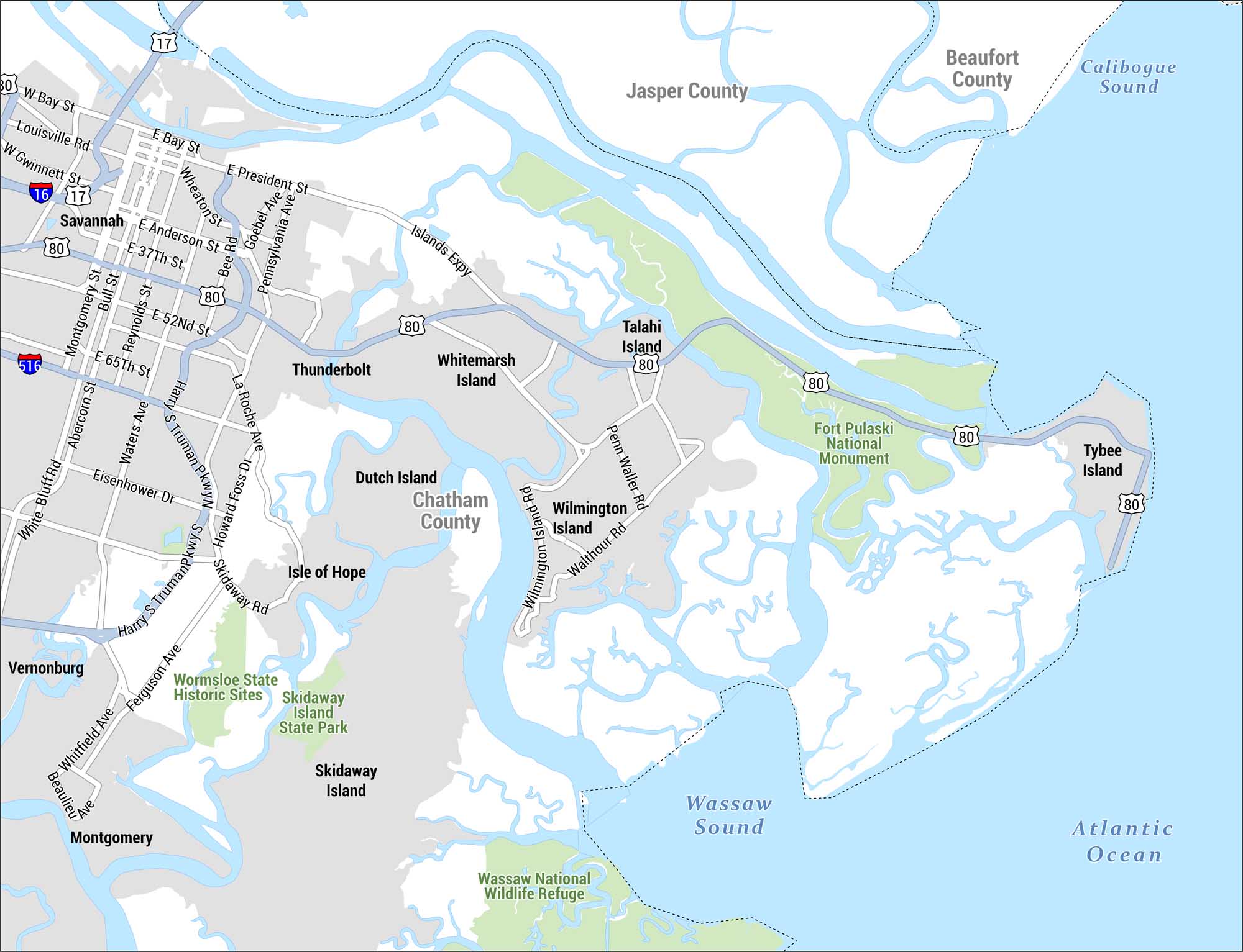
Check out our detailed map of the Golden Isles region centered on Savannah, Georgia and its surrounding barrier islands, coastal waterways, and marshlands. The map spans from Savannah east to Tybee Island and south through the sea islands of Chatham County.
Map Information
On the Map
Islands: Whitemarsh Island, Talahi Island, Wilmington Island, Dutch Island, Isle of Hope, Skidaway Island, Tybee Island Communities: Savannah, Thunderbolt, Vernonburg, Montgomery Counties: Chatham County, Jasper County, Beaufort County Parks & Protected Areas: Fort Pulaski National Monument, Skidaway Island State Park, Wormsloe State Historic Sites, Wassaw National Wildlife Refuge Highways/Roads: I-16, I-516, US-17, US-80, Louisville Rd, W Gwinnett St, E President St, E Anderson St, E 37th St, E 52nd St, E 65th St, Montgomery St, Bull St, Reynolds St, Waters Ave, Abercorn St, White Bluff Rd, Eisenhower Dr, Wheaton St, Bee Ave, Goebel Ave, Pennsylvania Ave Bodies of Water: Wassaw Sound, Calibogue Sound, Atlantic OceanReferences
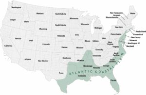
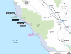
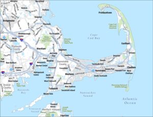
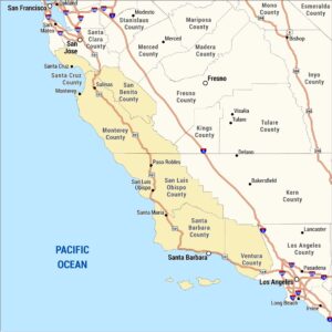
Coastal Region Maps
All coastal landscapes, maritime cultures, beaches, and islands.