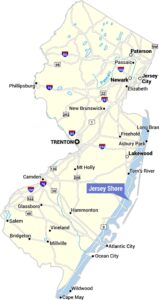
Grand Strand Map
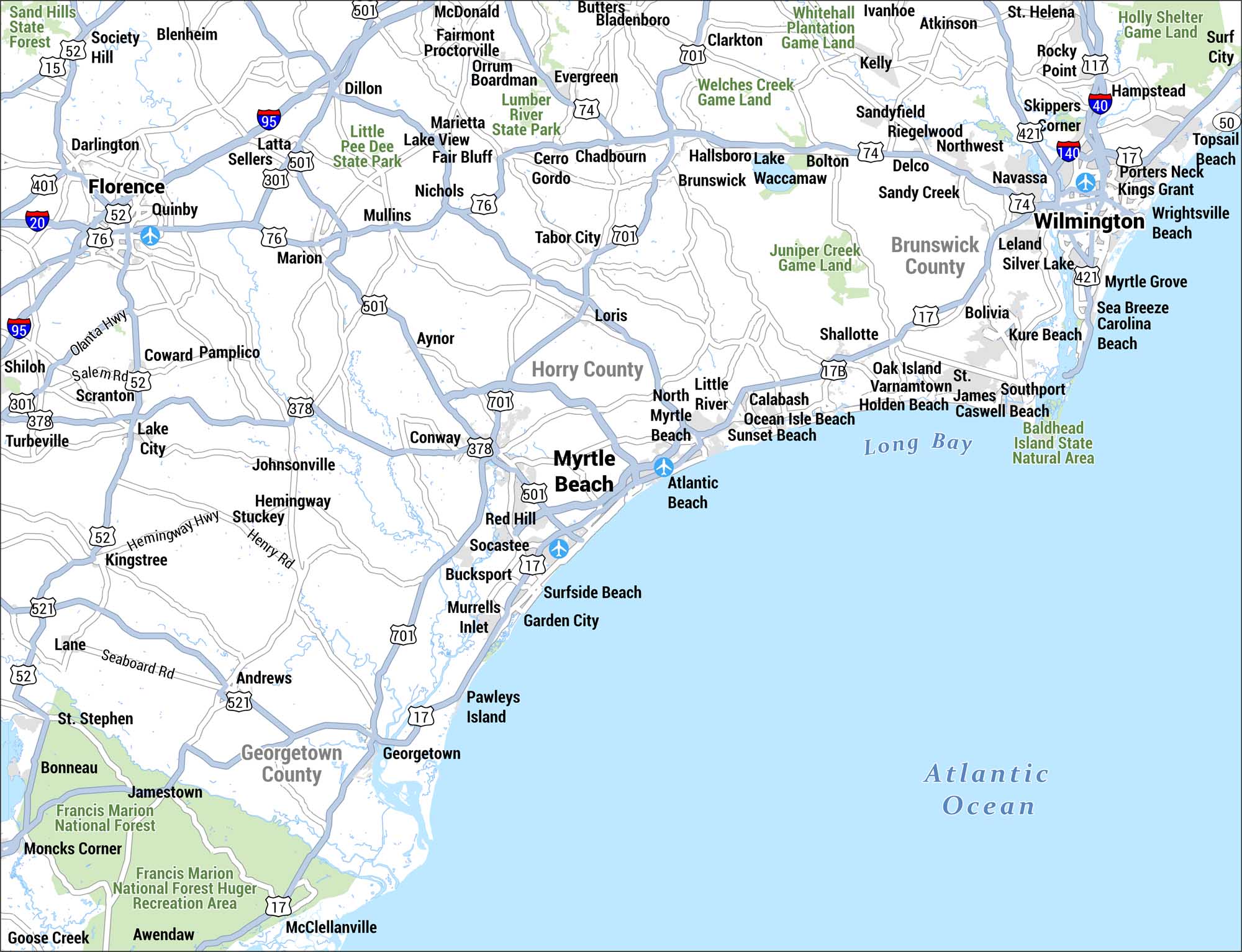
This is a detailed street-level map of the Grand Strand region. You can find this area along the South Carolina and North Carolina coastline, centered on Myrtle Beach. The map covers Horry and Georgetown counties in South Carolina and Brunswick County in North Carolina, with the Atlantic Ocean to the east.
Map Information
On the Map
Major Coastal Communities: Myrtle Beach, North Myrtle Beach, Surfside Beach, Garden City, Murrells Inlet, Pawleys Island, Atlantic Beach, Little River, Calabash, Ocean Isle Beach, Sunset Beach, Wilmington, Wrightsville Beach, Carolina Beach, Kure Beach, Topsail Beach Inland Communities: Conway, Socastee, Bucksport, Red Hill, Loris, Aynor, Georgetown, Andrews, Shallotte, Bolivia, Southport, Leland, Marion, Mullins, Tabor City, Chadbourn, Hallsboro, Brunswick, Florence, Quinby, Pamplico, Johnsonville, Hemingway, Kingstree, Lake City Counties: Horry County, Georgetown County, Brunswick County Parks & Natural Areas: Sand Hills State Forest, Little Pee Dee State Park, Lumber River State Park, Whitehall Plantation Game Land, Welches Creek Game Land, Juniper Creek Game Land, Holly Shelter Game Land, Francis Marion National Forest, Baldhead Island State Natural Area Highways: I-95, I-20, I-40, I-140, US-17, US-74, US-76, US-301, US-378, US-421, US-501, US-521, US-701 Bodies of Water: Atlantic Ocean, Long BayReferences
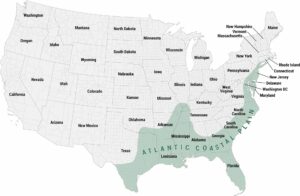
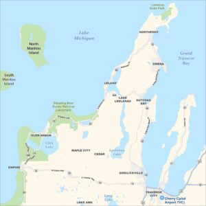
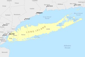
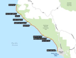
Coastal Region Maps
All coastal landscapes, maritime cultures, beaches, and islands.