Hoh Rainforest Map
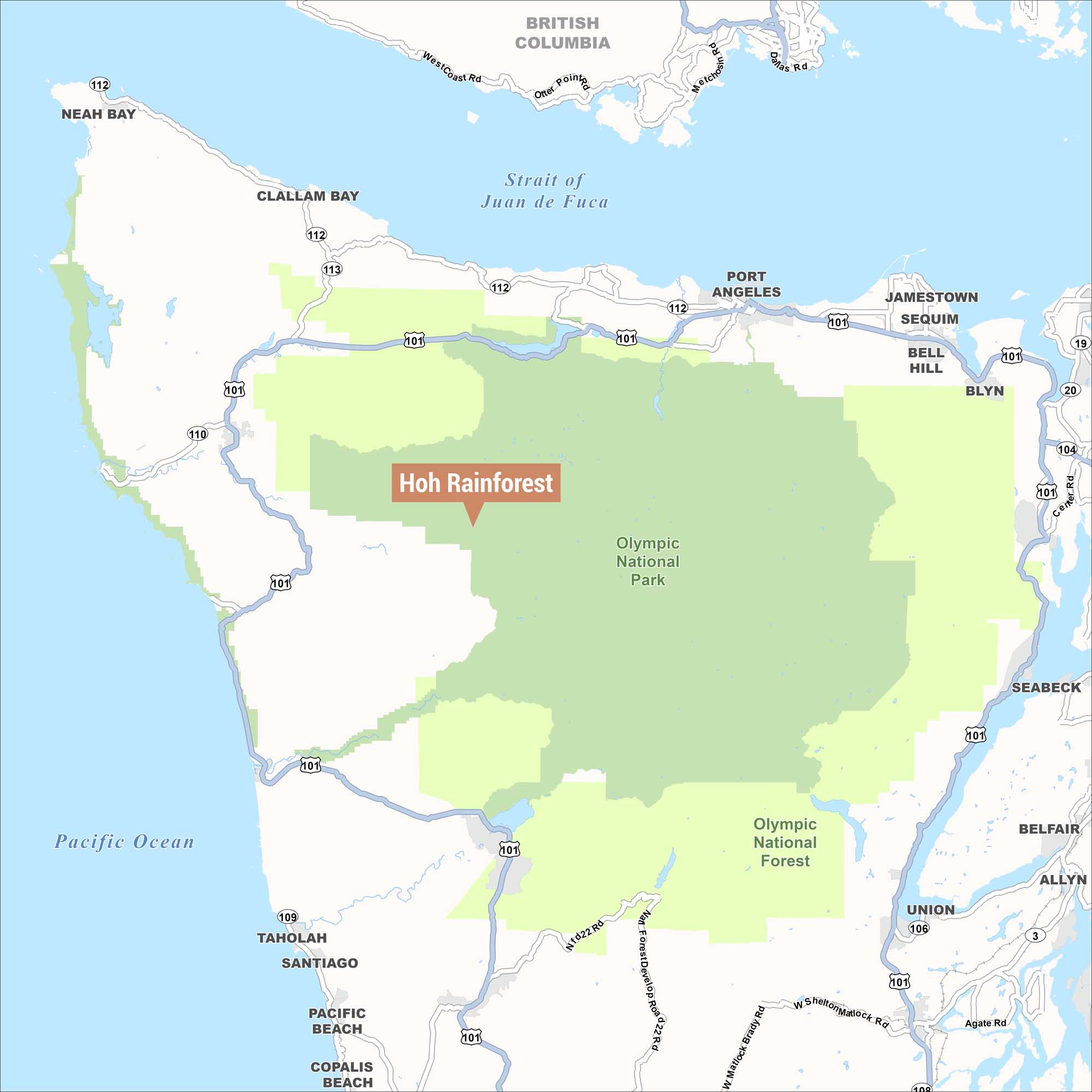
Our map highlights the location of the Hoh Rainforest within Olympic National Park. The rainforest sits inland from the Pacific Ocean coast off U.S. Route 101.
Map Information
On the Map
Parks/Forests: Olympic National Park, Olympic National Forest Towns and Communities: Neah Bay, Clallam Bay, Port Angeles, Jamestown, Sequim, Bell Hill, Blyn, Seabeck, Belfair, Allyn, Union, Taholah, Santiago, Pacific Beach, Copalis Beach Waterways: Strait of Juan de Fuca, Pacific Ocean Highways/Roads: US-101, WA-112, WA-113, WA-110, WA-109, WA-106, WA-104, WA-19, WA-20, WA-3, West Coast Rd, Otter Point Rd, Matchno Rd, Dallas Rd, Center Rd Bordering Region: British Columbia (Canada)References
Natural Region Maps
Geographic landforms, wilderness zones, deserts, mountain ranges, and terrain.