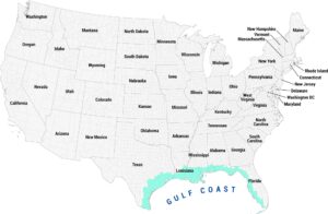
Long Island Map
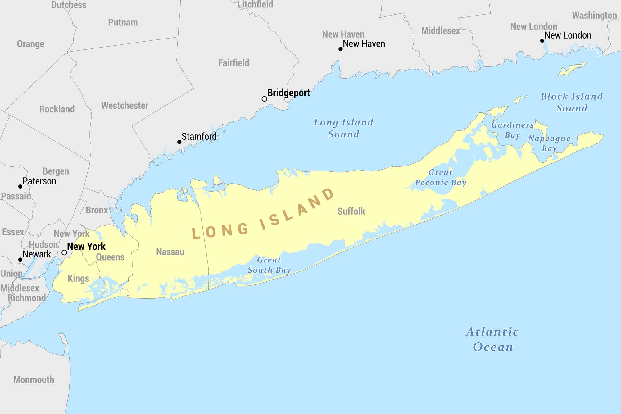
Here’s our reference map of Long Island, New York, shown in yellow. It extends eastward from New York City into the Atlantic Ocean. Our map includes surrounding counties, Connecticut across the sound, and New Jersey to the west.
Map Information
On the Map
Long Island Counties: Kings, Queens, Nassau, Suffolk Surrounding New York Counties: Bronx, New York, Rockland, Westchester, Putnam, Dutchess, Orange Connecticut Counties/Cities: Fairfield, Litchfield, New Haven, Middlesex, Washington, Bridgeport, Stamford, New London New Jersey Counties: Bergen, Passaic, Essex, Hudson, Union, Middlesex, Monmouth, Richmond Nearby Cities: New York, Newark, Paterson, Bridgeport, Stamford, New Haven, New London Bodies of Water: Long Island Sound, Great South Bay, Great Peconic Bay, Gardiners Bay, Napeague Bay, Block Island Sound, Atlantic OceanReferences
Coastal Region Maps
All coastal landscapes, maritime cultures, beaches, and islands.