Lost Coast Map
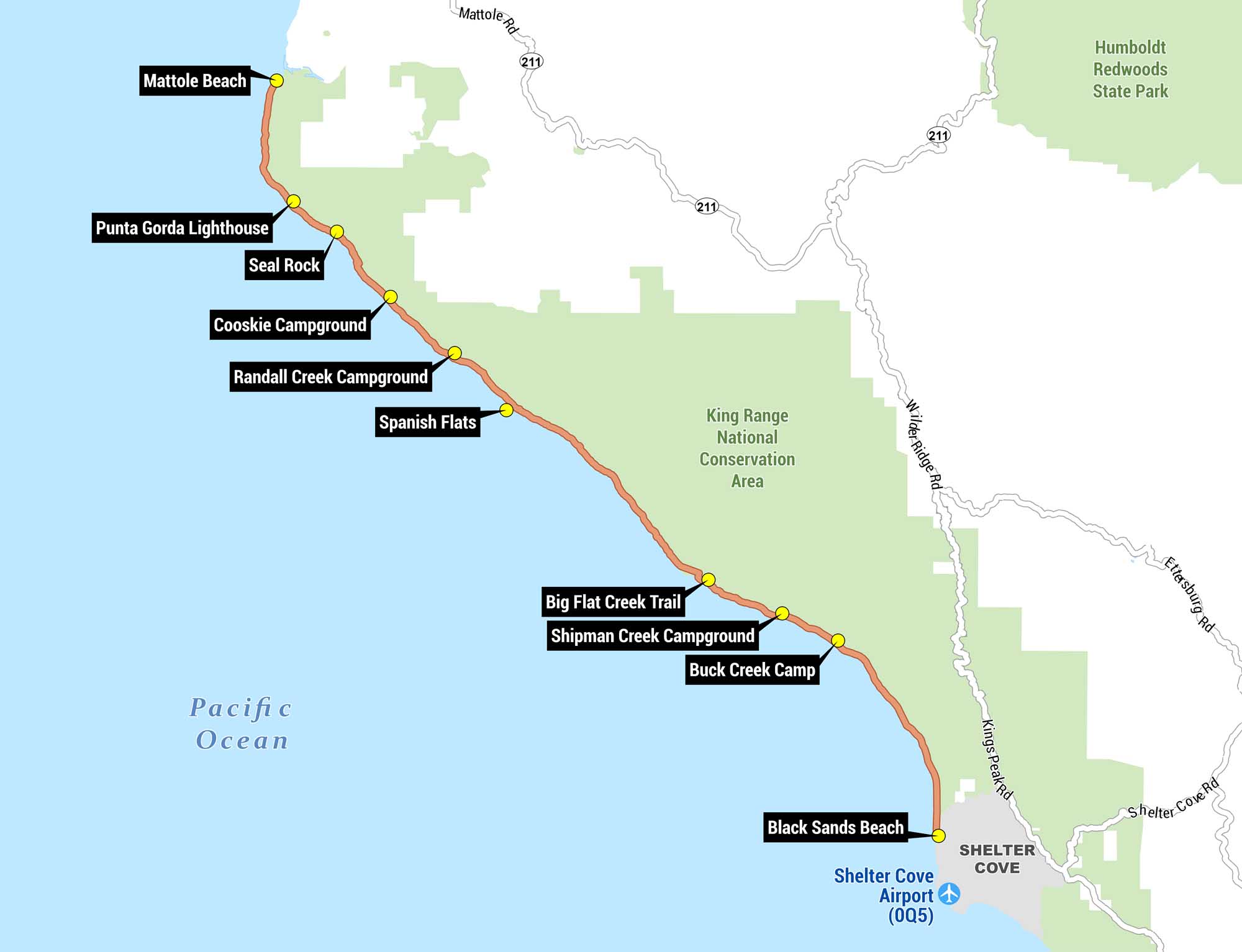
Our Lost Coast map shows the famous coastal backpacking route running along the Pacific Ocean. From Mattole Beach in the north to Black Sands Beach in the south, we’ve marked out the trail in orange with yellow dots indicating key stops. It’s all set against the King Range National Conservation Area in green.
Map Information
On the Map
Trail Waypoints (North to South): Mattole Beach, Punta Gorda Lighthouse, Seal Rock, Cooskie Campground, Randall Creek Campground, Spanish Flats, Big Flat Creek Trail, Shipman Creek Campground, Buck Creek Camp, Black Sands Beach Towns/Communities: Shelter Cove Protected Areas: King Range National Conservation Area, Humboldt Redwoods State Park Airports: Shelter Cove Airport (0Q5) Highways and Major Roads: Mattole Rd, CA-211, Wilder Ridge Rd, Kings Peak Rd, Shelter Cove Rd, Etasburg Rd Bodies of Water: Pacific OceanReferences
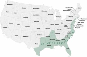
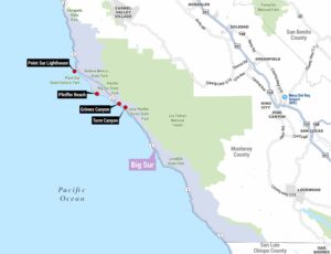
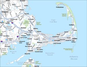
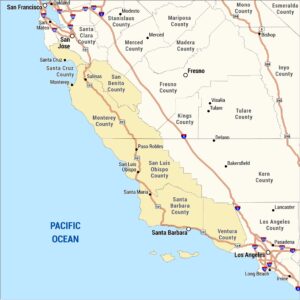
Coastal Region Maps
All coastal landscapes, maritime cultures, beaches, and islands.