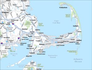
Martha’s Vineyard Map
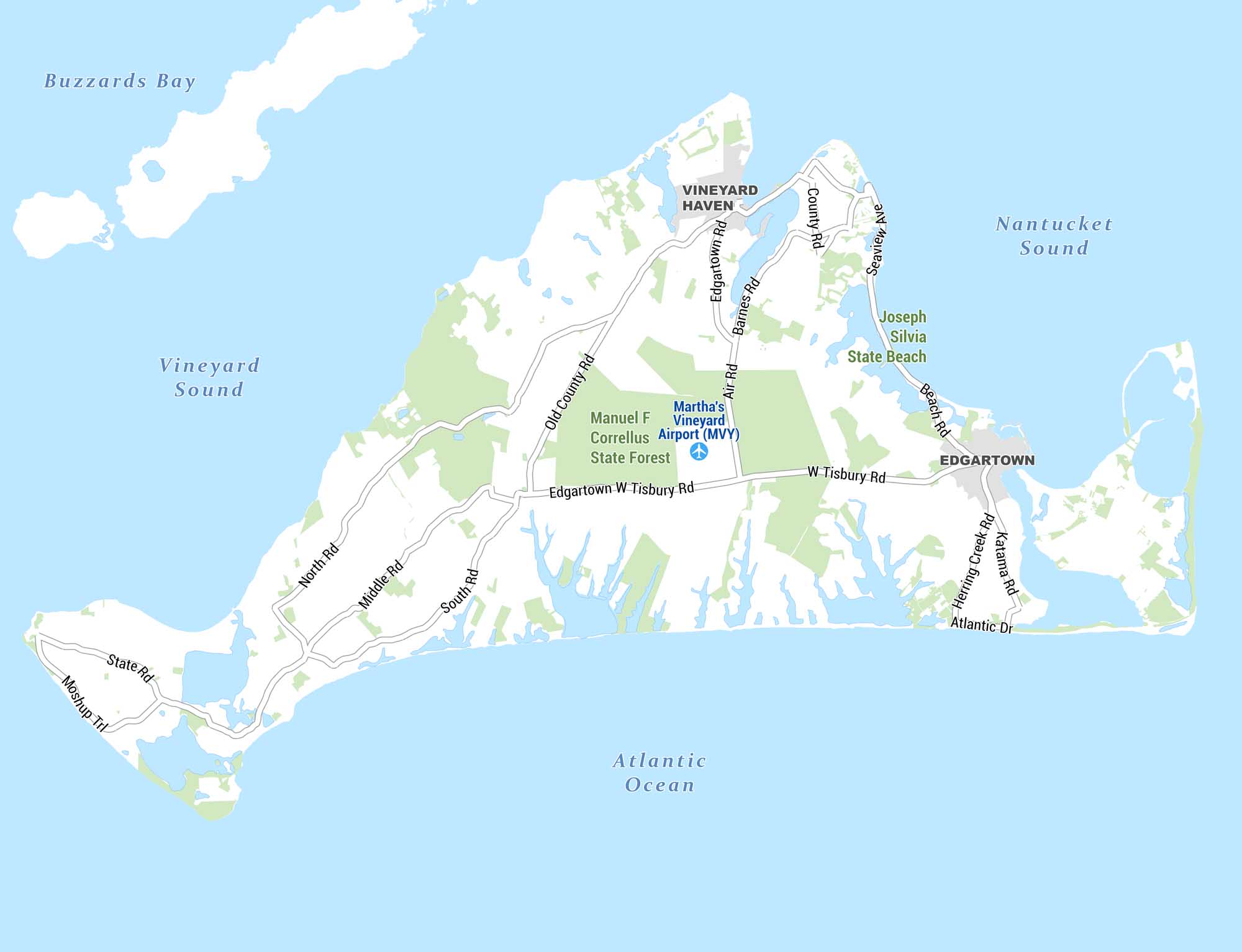
Here’s our detailed map of Martha’s Vineyard, the island off the coast of Massachusetts. It shows towns, roads, natural areas, and surrounding waterways. Green shading indicates forested and conservation land across the island.
Map Information
On the Map
Towns/Communities: Vineyard Haven, Edgartown Landmarks & Points of Interest: Martha’s Vineyard Airport (MVY), Manuel F. Correllus State Forest, Joseph Silvia State Beach Major Roads: North Rd, Middle Rd, South Rd, State Rd, Moshup Trl, Old County Rd, Edgartown Rd, Barnes Rd, Air Rd, County Rd, Seaview Ave, Beach Rd, W Tisbury Rd, Edgartown W Tisbury Rd, Herring Creek Rd, Katama Rd, Atlantic Dr Waterways: Buzzards Bay, Vineyard Sound, Nantucket Sound, Atlantic OceanReferences
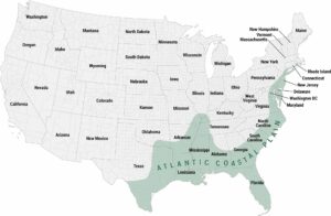
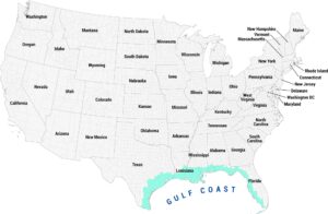
Coastal Region Maps
All coastal landscapes, maritime cultures, beaches, and islands.